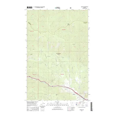
2017 Map of Haugan
USGS Topo · Published 2017About this map
The settlement of Haugan serves as a small anchor point along the southern edge of this map, situated where the Saint Regis River flows through the steep terrain of the Coeur d'Alene Mountains. This landscape is heavily defined by the complex topography of the Lolo National Forest, where a network of forest roads and trails like Timber Creek Rd, Savenac Cr Rd, and Cruzane provide access to high ridges including Meadow Mtn and Hawk Mtn. The map highlights a remote mountain corridor where the Hiawatha trail and Interstate 90 parallel the river through the narrow valley. Prominent local landmarks such as Cruzane Gulch and Haugan Mountain illustrate the dramatic relief of the Mineral County high country.
Find a feature on this map
51 named features on this map. Tap any name to fly to it.
Don’t see what you’re looking for? This feature index may not catch every label — zoom into the map to look around manually.
Map Details
Editions of this 2017 Haugan Map
This is the sole edition of this map. No revisions or reprints were ever made.
Other maps of this area

1914 · Avery
USGS Topo · 1:125,000

1917 · Avery
USGS Topo · 1:125,000

1918 · St Regis
USGS Topo · 1:125,000

1919 · St. Regis
USGS Topo · 1:125,000

1932 · Trout Creek
USGS Topo · 1:125,000

1935 · Trout Creek
USGS Topo · 1:125,000

1936 · Trout Creek
USGS Topo · 1:125,000

1937 · Thompson Falls
USGS Topo · 1:125,000

1937 · Thompson Falls
USGS Topo · 1:62,500

1956 · Cooper Gulch
USGS Topo · 1:62,500