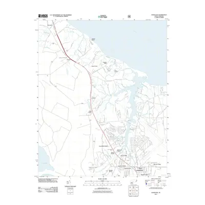
2011 Map of Havelock
USGS Topo · Published 2011About this map
Havelock serves as the focal point for this eastern North Carolina landscape, where numerous residential developments and institutional facilities congregate around the convergence of Slocum Creek and its prongs. The map illustrates a densely settled corridor featuring neighborhoods like Slocum Village, Havelock Park, and Greenfields Heights, situated just south of the sprawling Tucker Creek and the southern bank of the wide Neuse River.
Find a feature on this map
140 named features on this map. Tap any name to fly to it.
Don’t see what you’re looking for? This feature index may not catch every label — zoom into the map to look around manually.
Map Details
Editions of this 2011 Havelock Map
This is the sole edition of this map. No revisions or reprints were ever made.
Other maps of this area

1901 · New Bern
USGS Topo · 1:62,500

1903 · New Bern
USGS Topo · 1:62,500

1942 · Maysville
USGS Topo · 1:62,500

1948 · Maysville
USGS Topo · 1:62,500

1949 · Havelock
USGS Topo · 1:24,000

1949 · Newport
USGS Topo · 1:24,000

1949 · Cherry Point
USGS Topo · 1:24,000

1949 · Masontown
USGS Topo · 1:24,000

1950 · New Bern
USGS Topo · 1:24,000

1950 · Upper Broad Creek
USGS Topo · 1:24,000
Featured Places
- New Bern, NC
- Havelock, NC
- Carolina Pines, Neuse Forest
- Havelock Station, Havelock
- Ketner Heights, Havelock