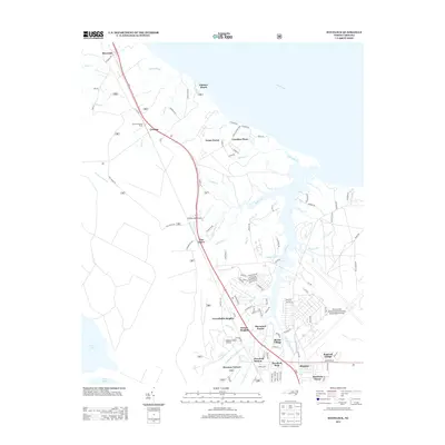
2013 Map of Havelock
USGS Topo · Published 2013About this map
Cherry Point Marine Corps Air Station dominates the eastern landscape of this coastal North Carolina region, where the Neuse River meets a complex network of creeks and guts. The settlement pattern reflects the military and aviation influence of the era, with residential clusters such as Hancock Village, Slocun Village, and Havelock Station gathered around the air station and Highway 70 corridor. Further inland, the terrain is defined by the dense woodlands of the Croatan National Forest, marked by the Croatan Lookout Tower and smaller private airstrips like Hickory Hill Airport and Dogwood Farm Airport. Waterways like Slocum Cr and Brice Cr carve through the low-lying coastal plain, while established communities like Carolina Pines and Riverdale flank the riverfront and rail lines. This map illustrates the intersection of mid-century military infrastructure and the older tidal landscapes of the inner banks.
Find a feature on this map
109 named features on this map. Tap any name to fly to it.
Don’t see what you’re looking for? This feature index may not catch every label — zoom into the map to look around manually.
Map Details
Editions of this 2013 Havelock Map
This is the sole edition of this map. No revisions or reprints were ever made.
Other maps of this area

1901 · New Bern
USGS Topo · 1:62,500

1903 · New Bern
USGS Topo · 1:62,500

1942 · Maysville
USGS Topo · 1:62,500

1948 · Maysville
USGS Topo · 1:62,500

1949 · Havelock
USGS Topo · 1:24,000

1949 · Newport
USGS Topo · 1:24,000

1949 · Cherry Point
USGS Topo · 1:24,000

1949 · Masontown
USGS Topo · 1:24,000

1950 · New Bern
USGS Topo · 1:24,000

1950 · Upper Broad Creek
USGS Topo · 1:24,000
Featured Places
- New Bern, NC
- Havelock, NC
- Carolina Pines, Neuse Forest
- Havelock Station, Havelock
- Ketner Heights, Havelock