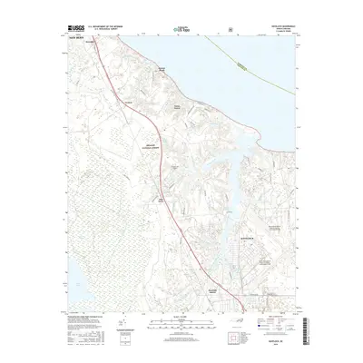
2016 Map of Havelock
USGS Topo · Published 2016About this map
The coastal plains of Craven County meet the expansive Croatan National Forest in this detailed survey. Centered on the growing city of Havelock, the landscape is defined by the heavy military presence of the Cherry Point Marine Corps Air Station / Cunningham Field, which occupies much of the eastern portion of the sheet. The map illustrates the complex drainage system feeding the Neuse River, with intricate water bodies such as Slocum Creek, Tucker Creek, and Anderson Creek branching through the terrain.
Find a feature on this map
65 named features on this map. Tap any name to fly to it.
Don’t see what you’re looking for? This feature index may not catch every label — zoom into the map to look around manually.
Map Details
Editions of this 2016 Havelock Map
This is the sole edition of this map. No revisions or reprints were ever made.
Other maps of this area

1901 · New Bern
USGS Topo · 1:62,500

1903 · New Bern
USGS Topo · 1:62,500

1942 · Maysville
USGS Topo · 1:62,500

1948 · Maysville
USGS Topo · 1:62,500

1949 · Havelock
USGS Topo · 1:24,000

1949 · Newport
USGS Topo · 1:24,000

1949 · Cherry Point
USGS Topo · 1:24,000

1949 · Masontown
USGS Topo · 1:24,000

1950 · New Bern
USGS Topo · 1:24,000

1950 · Upper Broad Creek
USGS Topo · 1:24,000
Featured Places
- New Bern, NC
- Havelock, NC
- Carolina Pines, Neuse Forest
- Havelock Station, Havelock
- Ketner Heights, Havelock