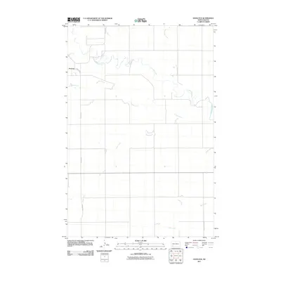
2011 Map of Havelock
USGS Topo · Published 2011About this map
Havelock sits in the northwest corner of this plains landscape, where the Cannonball River meanders through a network of tributary drainages. The map reveals a highly structured rural grid, characteristic of the western Dakotas, where transportation is defined by long, straight thoroughfares like Havelock Rd and Indian Cr Dam Rd. This 2011 survey captures a quiet reach of Hettinger County where the land is carved by several distinct watercourses, including Coal Bank Creek and Squaw Creek. The hydrology is central to the area's layout, with Hay Slough Creek and Tepee Creek adding to the intricate drainage pattern that flows toward the Missouri River basin, illustrating how these seasonal or intermittent streams dictated the placement of early settlements and road networks.
Find a feature on this map
8 named features on this map. Tap any name to fly to it.
Don’t see what you’re looking for? This feature index may not catch every label — zoom into the map to look around manually.
Map Details
Editions of this 2011 Havelock Map
This is the sole edition of this map. No revisions or reprints were ever made.
Other maps of this area

1953 · Dickinson
USGS Topo · 1:250,000

1957 · Dickinson
USGS Topo · 1:250,000

1966 · Regent
USGS Topo · 1:24,000

1973 · Liens Dams
USGS Topo · 1:24,000

1973 · Jung Lake
USGS Topo · 1:24,000

1973 · New England
USGS Topo · 1:24,000

1973 · Lefor SW
USGS Topo · 1:24,000

1973 · Stony Butte
USGS Topo · 1:24,000

1973 · Havelock
USGS Topo · 1:24,000

1973 · Enterprise School
USGS Topo · 1:24,000