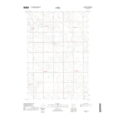
2018 Map of Havelock
USGS Topo · Published 2018About this map
The Havelock settlement sits along the upper reaches of the Cannonball River, serving as a central point in this part of Hettinger County. The landscape is defined by its drainage network, where Coal Bank Cr and Hay Slough Cr feed into the river system. To the south, the terrain becomes more distinct with the prominence of Tepee Buttes, a significant landmark rising above the surrounding prairie. This area is characterized by its late-era rural organization, with a strict grid of section lines and gravel roads such as Havelock Rd and Indian Cr Dam Rd providing access to the various townships. The mapping of Squaw Cr and Tepee Cr illustrates the hydrological patterns that have historically dictated the placement of agricultural land and homesteads in this North Dakota region.
Find a feature on this map
18 named features on this map. Tap any name to fly to it.
Don’t see what you’re looking for? This feature index may not catch every label — zoom into the map to look around manually.
Map Details
Editions of this 2018 Havelock Map
This is the sole edition of this map. No revisions or reprints were ever made.
Other maps of this area

1953 · Dickinson
USGS Topo · 1:250,000

1957 · Dickinson
USGS Topo · 1:250,000

1966 · Regent
USGS Topo · 1:24,000

1973 · Liens Dams
USGS Topo · 1:24,000

1973 · Jung Lake
USGS Topo · 1:24,000

1973 · New England
USGS Topo · 1:24,000

1973 · Lefor SW
USGS Topo · 1:24,000

1973 · Stony Butte
USGS Topo · 1:24,000

1973 · Havelock
USGS Topo · 1:24,000

1973 · Enterprise School
USGS Topo · 1:24,000