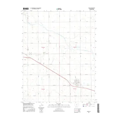
2015 Map of Haven
USGS Topo · Published 2015About this map
The Arkansas River meanders across this Reno County landscape, carving a wide path through the prairie between the settlements of Haven and Yoder. This area is defined by its deep agricultural and cultural roots, evidenced by the presence of the Mennonite Cem near the northern boundary. The town of Haven serves as a primary hub, organized around a grid including W Main St and Industrial Rd, while a complex network of drainage features like Devils Ditch and Gar Cr manages the hydrology of the surrounding fields. Local history is further grounded by several burial grounds, including the Laurel Cem and Saint Paul Cem, which anchor the rural sections between the primary roads like Yoder RD and Haven RD.
Find a feature on this map
44 named features on this map. Tap any name to fly to it.
Don’t see what you’re looking for? This feature index may not catch every label — zoom into the map to look around manually.
Map Details
Editions of this 2015 Haven Map
This is the sole edition of this map. No revisions or reprints were ever made.
Other maps of this area

1889 · Cheney
USGS Topo · 1:125,000

1891 · Hutchinson
USGS Topo · 1:125,000

1891 · Cheney
USGS Topo · 1:125,000

1893 · Hutchinson
USGS Topo · 1:125,000

1901 · Cheney
USGS Topo · 1:125,000

1955 · Wichita
USGS Topo · 1:250,000

1955 · Hutchinson
USGS Topo · 1:250,000

1958 · Wichita
USGS Topo · 1:250,000

1958 · Patterson
USGS Topo · 1:24,000

1959 · Hutchinson
USGS Topo · 1:250,000