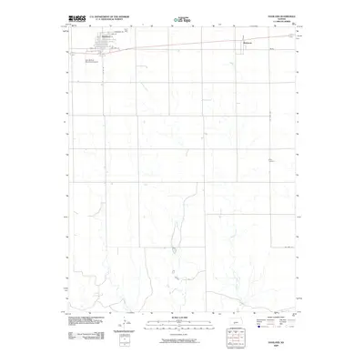
2009 Map of Haviland
USGS Topo · Published 2009About this map
Haviland serves as the primary hub of this Kiowa County landscape, defined by a distinct street grid including Maple St, Elm St, and Sycamore St. The settlement is situated along the historic corridor of Old Hwy 54, while the Gail Ballard Municipal Airport provides a modern transportation link to the west. To the east lies Wellsford, a smaller community positioned near the headwaters of Soldier Creek. The topography is shaped by the subtle drainage patterns of Spring Creek, which meanders through the central sections of the quadrangle. For those researching local lineages, the Boles Cemetery is a significant genealogical landmark situated in the eastern portion of the county, accessible via SW 150th Ave. This survey reflects the enduring agricultural and infrastructure patterns of the High Plains in the early 21st century.
Find a feature on this map
14 named features on this map. Tap any name to fly to it.
Don’t see what you’re looking for? This feature index may not catch every label — zoom into the map to look around manually.
Map Details
Editions of this 2009 Haviland Map
This is the sole edition of this map. No revisions or reprints were ever made.
Other maps of this area

1889 · Kinsley
USGS Topo · 1:125,000

1891 · Medicine Lodge
USGS Topo · 1:125,000

1892 · Kinsley
USGS Topo · 1:125,000

1892 · Coldwater
USGS Topo · 1:125,000

1892 · Pratt
USGS Topo · 1:125,000

1893 · Medicine Lodge
USGS Topo · 1:125,000

1894 · Kinsley
USGS Topo · 1:125,000

1894 · Pratt
USGS Topo · 1:125,000

1955 · Pratt
USGS Topo · 1:250,000

1959 · Pratt
USGS Topo · 1:250,000