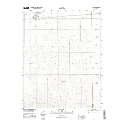
2015 Map of Haviland
USGS Topo · Published 2015About this map
Haviland serves as a primary hub for this portion of Kiowa County, where the grid of the High Plains is interrupted by the winding courses of Spring Cr and Soldier Cr. The town is characterized by its organized residential layout and its role as an educational center, anchored by Barclay Coll. A few miles to the east, Wellsford sits along the rail corridor, while the wider agricultural landscape is marked by isolated landmarks like the Gail Ballard Airport and Boles Cem. The map reveals the precise intersection of Kiowa and Pratt counties, illustrating how early 20th-century section lines dictated the movement of commerce and people across the prairie. It is a detailed record of small-town life and the enduring structures of Kansas ranching and farming communities.
Find a feature on this map
56 named features on this map. Tap any name to fly to it.
Don’t see what you’re looking for? This feature index may not catch every label — zoom into the map to look around manually.
Map Details
Editions of this 2015 Haviland Map
This is the sole edition of this map. No revisions or reprints were ever made.
Other maps of this area

1889 · Kinsley
USGS Topo · 1:125,000

1891 · Medicine Lodge
USGS Topo · 1:125,000

1892 · Kinsley
USGS Topo · 1:125,000

1892 · Coldwater
USGS Topo · 1:125,000

1892 · Pratt
USGS Topo · 1:125,000

1893 · Medicine Lodge
USGS Topo · 1:125,000

1894 · Kinsley
USGS Topo · 1:125,000

1894 · Pratt
USGS Topo · 1:125,000

1955 · Pratt
USGS Topo · 1:250,000

1959 · Pratt
USGS Topo · 1:250,000