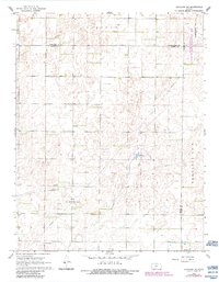
1968 Map of Haviland NE
USGS Topo · Published 1984About this map
The energy-rich plains of Lincoln and the southern townships of Township No 8 and Township No 9 define this landscape during the mid-to-late 1960s. The region is marked by significant industrial activity focused within the Fruit Oil and Gas Field, where pipelines and scattered Gas Wells indicate the extraction economy of central Kansas. Small-scale water features like Lost Lake break the terrain, which is also shaped by the extensive Pratt Sandhills State Wildlife Management Area on its eastern edge.
Find a feature on this map
15 named features on this map. Tap any name to fly to it.
Don’t see what you’re looking for? This feature index may not catch every label — zoom into the map to look around manually.
Map Details
Editions of this 1968 Haviland NE Map
2 editions found

Other maps of this area

1889 · Kinsley
USGS Topo · 1:125,000

1892 · Kinsley
USGS Topo · 1:125,000

1892 · Pratt
USGS Topo · 1:125,000

1894 · Kinsley
USGS Topo · 1:125,000

1894 · Pratt
USGS Topo · 1:125,000

1955 · Pratt
USGS Topo · 1:250,000

1959 · Pratt
USGS Topo · 1:250,000

1968 · Cullison
USGS Topo · 1:24,000

1968 · Haviland NW
USGS Topo · 1:24,000

1968 · Haviland
USGS Topo · 1:24,000