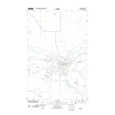
2011 Map of Havre
USGS Topo · Published 2011About this map
The Milk River meanders across this northern Montana landscape, anchoring the regional hub of Havre and its neighbor West Havre. This 2011 survey details a community deeply integrated with its hydraulic environment, featuring a complex network of water management structures including the Bullhook Lower Diversion Dam, Bullhook Dam, and the Havre Irrigation Ditch. The grid of Havre is well-established, housing the Havre Post Office and various emergency services like the Bear Paw Vol Fire Company Mobile Unit.
Find a feature on this map
50 named features on this map. Tap any name to fly to it.
Don’t see what you’re looking for? This feature index may not catch every label — zoom into the map to look around manually.
Map Details
Editions of this 2011 Havre Map
This is the sole edition of this map. No revisions or reprints were ever made.
Other maps of this area

1904 · Havre
USGS Topo · 1:62,500

1904 · Assinniboine
USGS Topo · 1:62,500

1912 · Thibedeau Lake
USGS Topo · 1:125,000

1953 · Havre
USGS Topo · 1:250,000

1957 · Havre
USGS Topo · 1:250,000

1958 · Havre
USGS Topo · 1:250,000

1959 · Laredo
USGS Topo · 1:62,500

1959 · Shambo
USGS Topo · 1:62,500

1964 · Havre NW
USGS Topo · 1:24,000

1964 · Havre SE
USGS Topo · 1:24,000
Featured Places
- Havre, MT
- Lakeside Plaza Mobile Home Park, Havre
- Hacienda Trailer Court, Havre
- Clear Creek Terrace Trailer Court, Havre
- Pats Trailer Park, MT