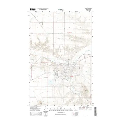
2014 Map of Havre
USGS Topo · Published 2014About this map
The Milk River and its accompanying valley define the northern edge of Havre in this early 21st-century survey. The town's grid expands southward toward the coulees and buttes, anchored by the campus of Montana State University-Northern and the essential services of the Po. To the west, the Sands Ranch Airport and Sands Lake mark the transition from the concentrated urban center to the broader landscape of Hill County. The terrain is marked by significant topographical shifts, moving from the river flats to prominent landmarks like Saddle Butte and Indian Woman Butte. Local history is preserved in sites such as Highland Cem and Mt Hope Cem, while the Havre Irrigation Ditch indicates the managed water system supporting the region's agricultural and civil development. Residential expansion reaches across the river to Havre North, linked by roads like Us-2.
Find a feature on this map
58 named features on this map. Tap any name to fly to it.
Don’t see what you’re looking for? This feature index may not catch every label — zoom into the map to look around manually.
Map Details
Editions of this 2014 Havre Map
This is the sole edition of this map. No revisions or reprints were ever made.
Other maps of this area

1904 · Havre
USGS Topo · 1:62,500

1904 · Assinniboine
USGS Topo · 1:62,500

1912 · Thibedeau Lake
USGS Topo · 1:125,000

1953 · Havre
USGS Topo · 1:250,000

1957 · Havre
USGS Topo · 1:250,000

1958 · Havre
USGS Topo · 1:250,000

1959 · Laredo
USGS Topo · 1:62,500

1959 · Shambo
USGS Topo · 1:62,500

1964 · Havre NW
USGS Topo · 1:24,000

1964 · Havre SE
USGS Topo · 1:24,000
Featured Places
- Havre, MT
- Lakeside Plaza Mobile Home Park, Havre
- Hacienda Trailer Court, Havre
- Clear Creek Terrace Trailer Court, Havre
- Pats Trailer Park, MT