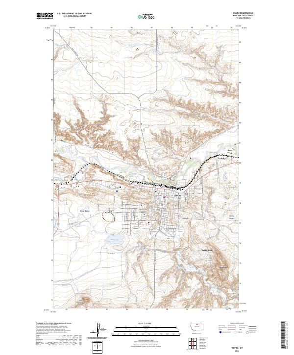
2024 Map of Havre
USGS Topo · Published 2024About this map
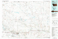
The Milk River valley anchors this study of northern Montana, where the BNSF Railway corridor continues to drive the orientation of Havre. The town serves as a regional hub, centered around the Hill County Courthouse and the campus of Montana State University Northern. To the west and north, residential expansions like West Havre and Havre North define the suburban fringe, while the landscape beyond is marked by water management and conservation efforts. The Hill County Waterfowl Production Area and the Havre Irrigation Ditch highlight the intersection of agricultural needs and wildlife preservation. Significant local landmarks include Mount Hope Cem and Highland Cem, providing touchpoints for local genealogy. The terrain transitions from the river bottom to higher ground marked by Saddle Butte and Indian Woman Butte, with drainage systems like Bullhook Creek and Harroun Coulee carving the surrounding plains.
Find a feature on this map
76 named features on this map. Tap any name to fly to it.
Don’t see what you’re looking for? This feature index may not catch every label — zoom into the map to look around manually.
Map Details
Editions of this 2024 Havre Map
This is the sole edition of this map. No revisions or reprints were ever made.
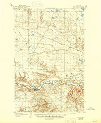
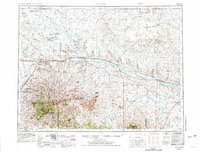
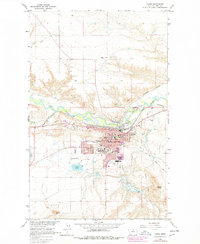
Historical Maps of Fairview Terrace Trailer Court Through Time
7 maps found


Featured Locations
- Havre, MT
- Saddle Butte, MT
- Clear Creek Terrace Trailer Court, Havre
- Hacienda Trailer Court, Havre
- Lakeside Plaza Mobile Home Park, Havre