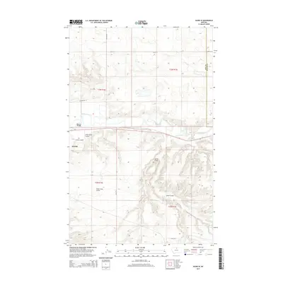
2014 Map of Havre SE
USGS Topo · Published 2014About this map
The Milk River meanders through the northern portion of this landscape, serving as a primary geographical anchor just east of Havre. This 2014 survey documents the eastern expansion and outskirts of the city, including Havre North and the transportation corridor defined by Us-2. The terrain is deeply inscribed by several drainage features, most notably Sheep Camp Coulee, Spring Coulee, and Staten Coulee, which create a complex network of ridges and depressions as they feed toward the river valley. Unlike the flatter agricultural sections to the north, the southern half of the map reveals a more broken landscape. The presence of Little Boxelder Cr and numerous named coulees like Carnal Coulee highlights the importance of water runoff and natural drainage patterns in this part of Hill County near the boundary with Blaine County.
Find a feature on this map
22 named features on this map. Tap any name to fly to it.
Don’t see what you’re looking for? This feature index may not catch every label — zoom into the map to look around manually.
Map Details
Editions of this 2014 Havre SE Map
This is the sole edition of this map. No revisions or reprints were ever made.
Other maps of this area

1904 · Yantic
USGS Topo · 1:62,500

1904 · Havre
USGS Topo · 1:62,500

1912 · Zurich
USGS Topo · 1:125,000

1912 · Thibedeau Lake
USGS Topo · 1:125,000

1953 · Havre
USGS Topo · 1:250,000

1956 · Lloyd
USGS Topo · 1:62,500

1957 · Havre
USGS Topo · 1:250,000

1958 · Havre
USGS Topo · 1:250,000

1959 · Shambo
USGS Topo · 1:62,500

1964 · Havre NW
USGS Topo · 1:24,000