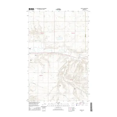
2017 Map of Havre SE
USGS Topo · Published 2017About this map
The Milk River carves a winding path through this portion of Hill and Blaine counties, defining a landscape shaped by glacial action and erosion. The settlement of Havre North sits just north of the river, where the terrain begins to rise into the high plains. This 2017 survey reveals a complex network of dry drainage features, notably Sheep Camp Coulee and Carnal Coulee in the northwest, which illustrate the intricate hydrology of the region. To the south, Spring Coulee and Staten Coulee mark the descent toward Little Boxelder Cr. The transition from the river valley to the surrounding plateaus is underscored by a grid of rural roads like Shepherd Rd and Clear Creek Rd SE, which serve the agricultural and ranching tracts that dominate the local economy.
Find a feature on this map
25 named features on this map. Tap any name to fly to it.
Don’t see what you’re looking for? This feature index may not catch every label — zoom into the map to look around manually.
Map Details
Editions of this 2017 Havre SE Map
This is the sole edition of this map. No revisions or reprints were ever made.
Other maps of this area

1904 · Yantic
USGS Topo · 1:62,500

1904 · Havre
USGS Topo · 1:62,500

1912 · Zurich
USGS Topo · 1:125,000

1912 · Thibedeau Lake
USGS Topo · 1:125,000

1953 · Havre
USGS Topo · 1:250,000

1956 · Lloyd
USGS Topo · 1:62,500

1957 · Havre
USGS Topo · 1:250,000

1958 · Havre
USGS Topo · 1:250,000

1959 · Shambo
USGS Topo · 1:62,500

1964 · Havre NW
USGS Topo · 1:24,000