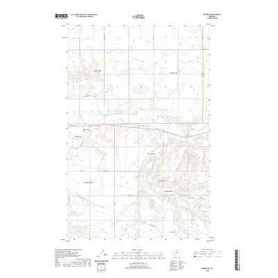
2020 Map of Havre SE
USGS Topo · Published 2020About this map
The Milk River carves a winding path through this corner of the Montana plains, defining the physical and historical character of the landscape southeast of Havre. This 2020 survey reveals a topography heavily influenced by seasonal water drainage, where numerous coulees—including Sheep Camp Coulee, Carnal Coulee, and Spring Coulee—etch deep paths toward the river basin. These features are essential landmarks for understanding the area's grazing and land-use patterns.
Find a feature on this map
25 named features on this map. Tap any name to fly to it.
Don’t see what you’re looking for? This feature index may not catch every label — zoom into the map to look around manually.
Map Details
Editions of this 2020 Havre SE Map
This is the sole edition of this map. No revisions or reprints were ever made.
Other maps of this area

1904 · Yantic
USGS Topo · 1:62,500

1904 · Havre
USGS Topo · 1:62,500

1912 · Zurich
USGS Topo · 1:125,000

1912 · Thibedeau Lake
USGS Topo · 1:125,000

1953 · Havre
USGS Topo · 1:250,000

1956 · Lloyd
USGS Topo · 1:62,500

1957 · Havre
USGS Topo · 1:250,000

1958 · Havre
USGS Topo · 1:250,000

1959 · Shambo
USGS Topo · 1:62,500

1964 · Havre NW
USGS Topo · 1:24,000