
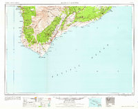
1962 Map of Hawaii South
USGS Topo · Published 1962About this map
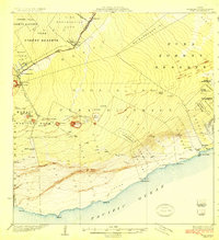
Mauna Loa and the massive caldera of Kilauea Crater dominate the southern landscape of Hawaii in this early 1960s study. The map captures the island's volcanic activity through the Southwest Rift and numerous craters such as Makaopuhi Crater and Pauahi Crater, set within the expansive Hawaii National Park. Along the coast, traditional fishing villages and agricultural centers like Milolii, Napoopoo, and Honaunau anchor the Kona coast, while the southern tip features landmarks like Kalae and the archaeological sites of Kuee (Ruined) and Kahio (Ruined).
Find a feature on this map
148 named features on this map. Tap any name to fly to it.
Don’t see what you’re looking for? This feature index may not catch every label — zoom into the map to look around manually.
Map Details
Editions of this 1962 Hawaii South Map
2 editions found
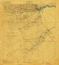
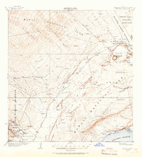
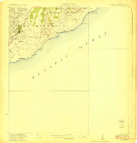
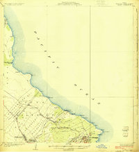
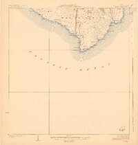
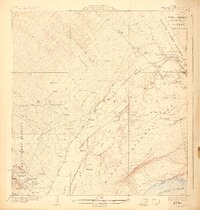
Other maps of this area
1917 · Hilo
USGS Topo · 1:62,500
1921 · Kilauea
USGS Topo · 1:62,500

1922 · Puna
USGS Topo · 1:62,500
1923 · Pahala
USGS Topo · 1:62,500
1924 · Makuu
USGS Topo · 1:62,500
1924 · Kalae
USGS Topo · 1:62,500
1924 · Kilauea
USGS Topo · 1:62,500
1924 · Puna
USGS Topo · 1:62,500
1924 · Kalapana
USGS Topo · 1:62,500
1924 · Honuapo
USGS Topo · 1:62,500