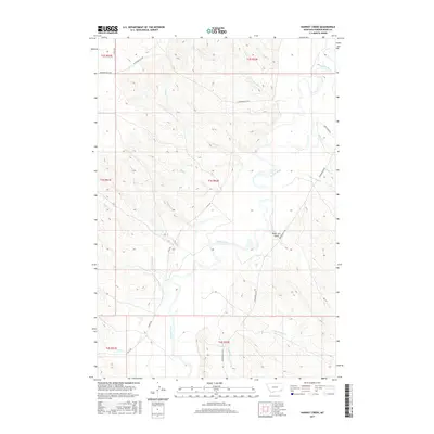
2017 Map of Hawkey Creek
USGS Topo · Published 2017About this map
The Powder River meanders across this portion of Powder River County, Montana, defining a landscape of deep drainages and tributary networks. This 2017 survey shows a region largely characterized by its hydrology, where named waterways like Wolf Creek and Hawkey Creek feed into the primary river valley. The topography is etched by numerous gulches and creeks, including the distinct Poker Jim Gulch and its companion stream, Poker Jim Creek.
Find a feature on this map
30 named features on this map. Tap any name to fly to it.
Don’t see what you’re looking for? This feature index may not catch every label — zoom into the map to look around manually.
Map Details
Editions of this 2017 Hawkey Creek Map
This is the sole edition of this map. No revisions or reprints were ever made.
Other maps of this area

1954 · Ekalaka
USGS Topo · 1:250,000

1956 · Ekalaka
USGS Topo · 1:250,000

1958 · Ekalaka
USGS Topo · 1:250,000

1965 · Ekalaka
USGS Topo · 1:250,000

1973 · Cross S School
USGS Topo · 1:24,000

1973 · Monday Creek
USGS Topo · 1:24,000

1973 · Moonlight Creek
USGS Topo · 1:24,000

1973 · Hawkey Creek
USGS Topo · 1:24,000
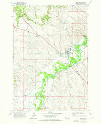
1973 · Broadus
USGS Topo · 1:24,000
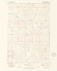
1973 · Johnnie Creek
USGS Topo · 1:24,000