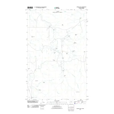
2011 Map of Hawley Hill
USGS Topo · Published 2011About this map
The international boundary between Canada and the United States defines the northern edge of this Liberty County landscape, a region characterized by high-plains ranching and resource extraction. The area is dotted with numerous family-named agricultural operations including Bingham Ranch, Wallace Ranch, and Old Hawley Ranch located near the base of Hawley Hill. The terrain is marked by significant hydrological management, evidenced by small-scale infrastructure like Betelguese Dam, Parsell Dam, and Closed Doors Dam which capture seasonal flow from drainages such as Police Creek and Dohrs Creek. Economic activity is anchored by the Whitlash Gas and Oil Field in the west and the Mount Brown Mine in the southeast. Prominent landforms like Ikes Butte and Bingham Ridge provide vertical relief in an area where local travel relies on routes like Whitlash RD and Shaffer RD.
Find a feature on this map
31 named features on this map. Tap any name to fly to it.
Don’t see what you’re looking for? This feature index may not catch every label — zoom into the map to look around manually.
Map Details
Editions of this 2011 Hawley Hill Map
This is the sole edition of this map. No revisions or reprints were ever made.
Other maps of this area

1954 · Shelby
USGS Topo · 1:250,000

1958 · Shelby
USGS Topo · 1:250,000
1962 · Bingham Lake
USGS Topo · 1:24,000

1962 · Whitlash
USGS Topo · 1:24,000
1962 · Hawley Hill
USGS Topo · 1:24,000

1962 · Haystack Butte
USGS Topo · 1:24,000

1962 · Mount Lebanon
USGS Topo · 1:24,000

1962 · Grassy Butte
USGS Topo · 1:24,000

1984 · Sweet Grass Hills
USGS Topo · 1:100,000
2011 · Bingham Lake
USGS Topo · 1:24,000