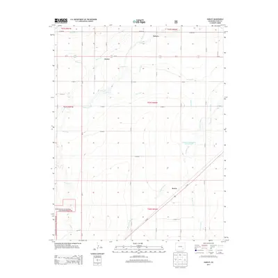
2013 Map of Hawley
USGS Topo · Published 2013About this map
The agricultural landscape of Otero County is defined here by an intricate network of irrigation systems and waterways. The Otero Canal, Catlin Canal, and Rocky Ford Canal traverse the terrain, reflecting the region's historical reliance on managed water for prairie farming. Small rural hubs like Hawley and Roberta are situated amidst these vital arteries, while the settlement of Benton is located further south along Us-350.
Find a feature on this map
37 named features on this map. Tap any name to fly to it.
Don’t see what you’re looking for? This feature index may not catch every label — zoom into the map to look around manually.
Map Details
Editions of this 2013 Hawley Map
This is the sole edition of this map. No revisions or reprints were ever made.
Other maps of this area

1891 · Catlin
USGS Topo · 1:125,000

1891 · Timpas
USGS Topo · 1:125,000

1893 · Catlin
USGS Topo · 1:125,000

1894 · Timpas
USGS Topo · 1:125,000

1953 · Cheraw
USGS Topo · 1:24,000

1954 · Manzanola
USGS Topo · 1:24,000

1954 · Lamar
USGS Topo · 1:250,000

1955 · Rocky Ford
USGS Topo · 1:24,000

1955 · La Junta
USGS Topo · 1:250,000

1958 · La Junta
USGS Topo · 1:250,000