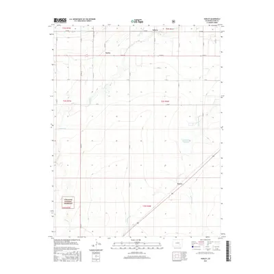
2016 Map of Hawley
USGS Topo · Published 2016About this map
Agricultural irrigation networks define this portion of Otero County, where a complex system of waterways like the Rocky Ford Highline Canal, Catlin Canal, and Otero Canal distribute water across the semi-arid landscape. Small settlements such as Hawley and Roberta serve as focal points for the surrounding rural sections, while the community of Benton sits at a crossroads in the southeastern reach of the map.
Find a feature on this map
33 named features on this map. Tap any name to fly to it.
Don’t see what you’re looking for? This feature index may not catch every label — zoom into the map to look around manually.
Map Details
Editions of this 2016 Hawley Map
This is the sole edition of this map. No revisions or reprints were ever made.
Other maps of this area

1891 · Catlin
USGS Topo · 1:125,000

1891 · Timpas
USGS Topo · 1:125,000

1893 · Catlin
USGS Topo · 1:125,000

1894 · Timpas
USGS Topo · 1:125,000

1953 · Cheraw
USGS Topo · 1:24,000

1954 · Manzanola
USGS Topo · 1:24,000

1954 · Lamar
USGS Topo · 1:250,000

1955 · Rocky Ford
USGS Topo · 1:24,000

1955 · La Junta
USGS Topo · 1:250,000

1958 · La Junta
USGS Topo · 1:250,000