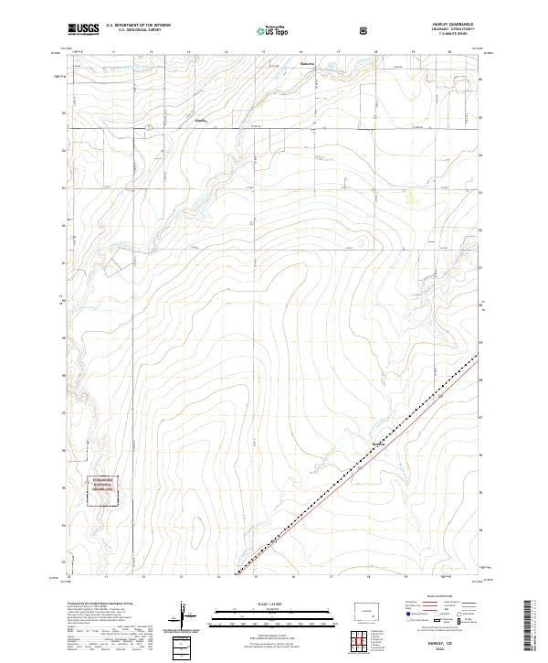
2022 Map of Hawley
USGS Topo · Published 2022About this map
The Comanche National Grassland defines the southwestern reaches of this high plains landscape, where the intersection of natural drainage and human engineering supports local agriculture. The terrain is marked by a complex network of irrigation infrastructure designed to harness water for the semi-arid region, including the Rocky Ford Highline Canal, Catlin Canal, and Otero Canal. These man-made waterways cut across natural features like Timpas Cr and Crooked Arroyo, illustrating the long-standing efforts to manage water rights in the Arkansas River Valley.
Find a feature on this map
32 named features on this map. Tap any name to fly to it.
Don’t see what you’re looking for? This feature index may not catch every label — zoom into the map to look around manually.
Map Details
Editions of this 2022 Hawley Map
This is the sole edition of this map. No revisions or reprints were ever made.
Other maps of this area

1891 · Catlin
USGS Topo · 1:125,000

1891 · Timpas
USGS Topo · 1:125,000

1893 · Catlin
USGS Topo · 1:125,000

1894 · Timpas
USGS Topo · 1:125,000

1953 · Cheraw
USGS Topo · 1:24,000

1954 · Manzanola
USGS Topo · 1:24,000

1954 · Lamar
USGS Topo · 1:250,000

1955 · Rocky Ford
USGS Topo · 1:24,000

1955 · La Junta
USGS Topo · 1:250,000

1958 · La Junta
USGS Topo · 1:250,000