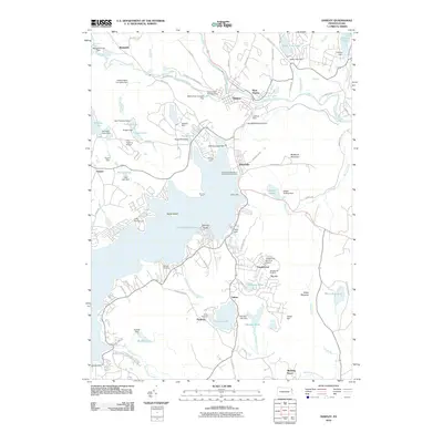
1935 Map of Hawley
USGS Topo · Published 1964About this map
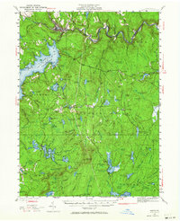
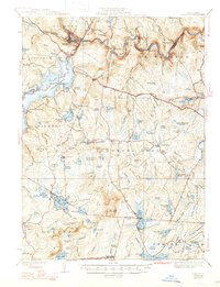
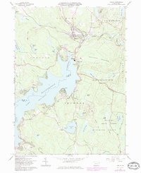
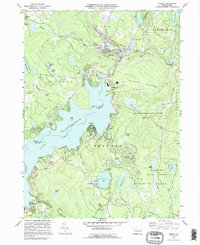
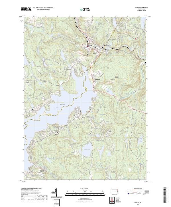
Lake Wallenpaupack dominates the western landscape of this 1935 survey, its waters reaching into Palmyra and Paupack townships. This artificial reservoir, created shortly before these records were made, redefined the regional topography, submerging portions of the valley near Uswick and Tafton. To the north, the Lackawaxen River snakes past the Erie Railroad line through Hawley, Kimble, and Rowland. This transit corridor was essential to the local timber and industrial economy, evidenced by features like the Shimers Rock Cut and Glen Eyre.
Find a feature on this map
120 named features on this map. Tap any name to fly to it.
Don’t see what you’re looking for? This feature index may not catch every label — zoom into the map to look around manually.
Map Details
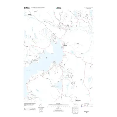
Editions of this 1935 Hawley Map
2 editions found

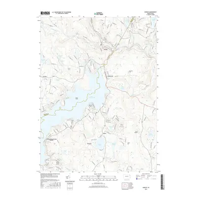
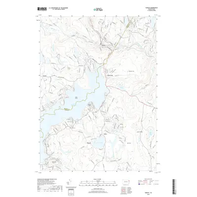
Historical Maps of Lackawaxen Township Through Time
10 maps found

Featured Locations
- Blooming Grove Township, PA
- Lackawaxen Township, PA
- Hawley, PA
- West Hawley, Hawley
- Wangaum, Paupack Township