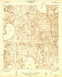
1938 Map of Hawthorn
USGS Topo · Published 1938About this map
Lake Lochloosa and Big Santa Fe Lake dominate the north and south of this Florida landscape, where a dense network of water bodies and prairies shaped early 20th-century settlement. The town of Hawthorn serves as a critical transportation nexus, where the Atlantic Coast Line and Seaboard Air Line railroads intersect. Small, scattered communities like Orange Heights, Campville, and Rochelle are linked by these rails and early routes such as State Highway No 13.
Find a feature on this map
90 named features on this map. Tap any name to fly to it.
Don’t see what you’re looking for? This feature index may not catch every label — zoom into the map to look around manually.
Map Details
Editions of this 1938 Hawthorn Map
This is the sole edition of this map. No revisions or reprints were ever made.
Other maps of this area
1890 · Arredondo
USGS Topo · 1:62,500
1892 · Arredondo
USGS Topo · 1:62,500
1893 · Citra
USGS Topo · 1:62,500
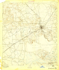
1894 · Arredondo
USGS Topo · 1:62,500
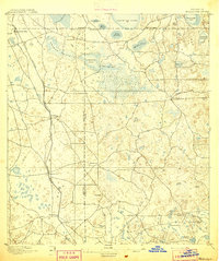
1895 · Williston
USGS Topo · 1:62,500
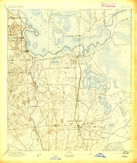
1895 · Citra
USGS Topo · 1:62,500
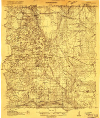
1915 · Interlachen
USGS Topo · 1:48,000
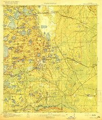
1916 · Interlachen
USGS Topo · 1:62,500
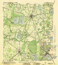
1941 · Starke
USGS Topo · 1:62,500
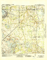
1942 · Ates Creek
USGS Topo · 1:62,500