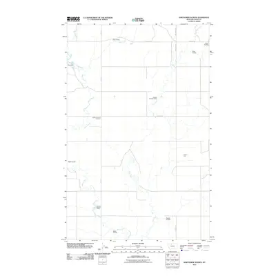
2011 Map of Hawthorne School
USGS Topo · Published 2011About this map
Hawthorne School (historical) stands as a point of local memory in this Toole County landscape, where the rural infrastructure of northern Montana is mapped in detail. The terrain is defined by a complex network of seasonal drainages and water management features, including Willow Creek and Trail Creek, which are supplemented by several small reservoirs like Aster Dam, Kolstad Number 3 Dam, and Tomeyer Number 2 Dam.
Find a feature on this map
20 named features on this map. Tap any name to fly to it.
Don’t see what you’re looking for? This feature index may not catch every label — zoom into the map to look around manually.
Map Details
Editions of this 2011 Hawthorne School Map
This is the sole edition of this map. No revisions or reprints were ever made.
Other maps of this area

1943 · Antelope Coulee
USGS Topo · 1:62,500

1945 · West Butte
USGS Topo · 1:62,500

1954 · Shelby
USGS Topo · 1:250,000

1958 · Shelby
USGS Topo · 1:250,000

1962 · Cameron Lake
USGS Topo · 1:24,000

1962 · Hawthorne School
USGS Topo · 1:24,000

1962 · Berkholder Reservoir
USGS Topo · 1:24,000

1962 · Mc Carters Lake
USGS Topo · 1:24,000

1962 · Mc Carters Lake SE
USGS Topo · 1:24,000

1962 · Grassy Butte
USGS Topo · 1:24,000