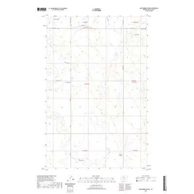
2020 Map of Hawthorne School
USGS Topo · Published 2020About this map
Hawthorne School (historical) marks the rural center of this northern Montana landscape, where local history is recorded through the names of family homesteads and watercourses. Situated in Toole County, the terrain is defined by a dense network of coulees and creeks that drain the plains, including Miners Coulee, Eide Coulee, and Alkali Coulee. The presence of the Eide Ranch and names like Fernell Coulee indicate the ranching legacy of the area, where water management and land claims were vital for survival. A grid of section roads like Miners Coulee Rd and Trail Creek Rd provides access to these remote reaches. The inclusion of the historical school site offers a specific point of interest for genealogists and researchers tracing the early 20th-century settlement patterns and community infrastructure of this ranching district.
Find a feature on this map
23 named features on this map. Tap any name to fly to it.
Don’t see what you’re looking for? This feature index may not catch every label — zoom into the map to look around manually.
Map Details
Editions of this 2020 Hawthorne School Map
This is the sole edition of this map. No revisions or reprints were ever made.
Other maps of this area

1943 · Antelope Coulee
USGS Topo · 1:62,500

1945 · West Butte
USGS Topo · 1:62,500

1954 · Shelby
USGS Topo · 1:250,000

1958 · Shelby
USGS Topo · 1:250,000

1962 · Cameron Lake
USGS Topo · 1:24,000

1962 · Hawthorne School
USGS Topo · 1:24,000

1962 · Berkholder Reservoir
USGS Topo · 1:24,000

1962 · Mc Carters Lake
USGS Topo · 1:24,000

1962 · Mc Carters Lake SE
USGS Topo · 1:24,000

1962 · Grassy Butte
USGS Topo · 1:24,000