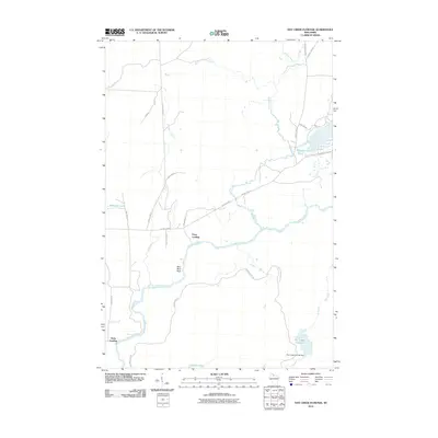
2010 Map of Hay Creek Flowage
USGS Topo · Published 2010About this map
Flambeau River navigation and local water management define this portion of Iron County, Wisconsin. The landscape is characterized by its complex hydrology, where the river meets several significant tributaries including Swamp Creek and Deer Creek. Human activity is concentrated around water access points, notably at Petes Landing and Holts Landing, which serve as key landmarks for those traversing the river system.
Find a feature on this map
25 named features on this map. Tap any name to fly to it.
Don’t see what you’re looking for? This feature index may not catch every label — zoom into the map to look around manually.
Map Details
Editions of this 2010 Hay Creek Flowage Map
This is the sole edition of this map. No revisions or reprints were ever made.
Other maps of this area

1940 · Mercer
USGS Topo · 1:48,000

1940 · Butternut
USGS Topo · 1:48,000

1941 · Park Falls
USGS Topo · 1:48,000

1941 · Pike Lake
USGS Topo · 1:48,000

1942 · Pike Lake
USGS Topo · 1:48,000

1943 · Park Falls
USGS Topo · 1:48,000

1945 · Mercer
USGS Topo · 1:48,000

1947 · Park Falls
USGS Topo · 1:48,000

1947 · Butternut
USGS Topo · 1:48,000

1947 · Mercer
USGS Topo · 1:48,000