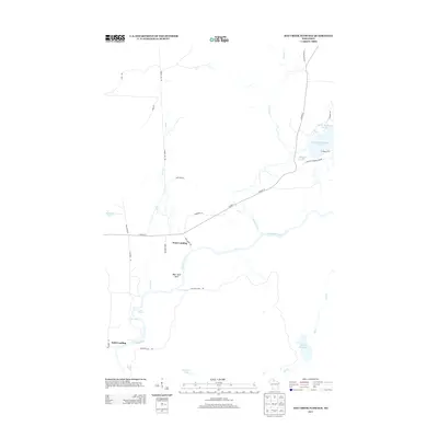
2013 Map of Hay Creek Flowage
USGS Topo · Published 2013About this map
The Flambeau River carves through the heart of this Iron County landscape, punctuated by a series of significant river features including Simmons Rapids, Quinns Rapids, and Stubbs Rapids. This northern Wisconsin territory is defined by its extensive water systems, where the massive Turtle Flambeau Flowage and the smaller Hay Cr Flowage dominate the hydrology. The presence of Petes Landing and Holts Landing along the river banks suggests a long-standing tradition of water access and local river travel in this densely wooded area.
Find a feature on this map
33 named features on this map. Tap any name to fly to it.
Don’t see what you’re looking for? This feature index may not catch every label — zoom into the map to look around manually.
Map Details
Editions of this 2013 Hay Creek Flowage Map
This is the sole edition of this map. No revisions or reprints were ever made.
Other maps of this area

1940 · Mercer
USGS Topo · 1:48,000

1940 · Butternut
USGS Topo · 1:48,000

1941 · Park Falls
USGS Topo · 1:48,000

1941 · Pike Lake
USGS Topo · 1:48,000

1942 · Pike Lake
USGS Topo · 1:48,000

1943 · Park Falls
USGS Topo · 1:48,000

1945 · Mercer
USGS Topo · 1:48,000

1947 · Park Falls
USGS Topo · 1:48,000

1947 · Butternut
USGS Topo · 1:48,000

1947 · Mercer
USGS Topo · 1:48,000