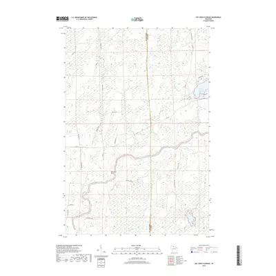
2018 Map of Hay Creek Flowage
USGS Topo · Published 2018About this map
The Flambeau River carves a winding path through this northern landscape, its course interrupted by several named whitewater features including Stubbs Rapids, Quinns Rapids, and Simmons Rapids. The terrain is characterized by complex hydrology where the Turtle Flambeau Flowage meets the river, surrounded by a dense network of smaller water bodies such as Minnow Lake and McKaskel Lake. The boundary between Ashland and Iron counties bisects the region, which is marked by a distinctive glacial or rocky landmark known as Bear Skull Rock. A network of forest and county roads, such as Co Hwy F and the Flambeau Trl, provides access to this heavily forested wetland environment. The map details the intricate drainage patterns of Swamp Creek and Hay Creek, illustrating a landscape shaped by both natural river morphology and modern water management.
Find a feature on this map
34 named features on this map. Tap any name to fly to it.
Don’t see what you’re looking for? This feature index may not catch every label — zoom into the map to look around manually.
Map Details
Editions of this 2018 Hay Creek Flowage Map
This is the sole edition of this map. No revisions or reprints were ever made.
Other maps of this area

1940 · Mercer
USGS Topo · 1:48,000

1940 · Butternut
USGS Topo · 1:48,000

1941 · Park Falls
USGS Topo · 1:48,000

1941 · Pike Lake
USGS Topo · 1:48,000

1942 · Pike Lake
USGS Topo · 1:48,000

1943 · Park Falls
USGS Topo · 1:48,000

1945 · Mercer
USGS Topo · 1:48,000

1947 · Park Falls
USGS Topo · 1:48,000

1947 · Butternut
USGS Topo · 1:48,000

1947 · Mercer
USGS Topo · 1:48,000