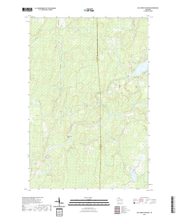
2022 Map of Hay Creek Flowage
USGS Topo · Published 2022About this map
The Flambeau River carves a winding path through this northern Wisconsin landscape, crossing the border between Ashland and Iron counties. This modern topographic study reveals a terrain defined by glacial water features and navigation hazards, including Quinns Rapids, Stubbs Rapids, and Pine Tree Rapids. Notable landmarks like Bear Skull Rock provide fixed points for navigation in a region largely dominated by complex wetlands and drainage systems such as Swamp Creek and Hoffman Cr.
Find a feature on this map
37 named features on this map. Tap any name to fly to it.
Don’t see what you’re looking for? This feature index may not catch every label — zoom into the map to look around manually.
Map Details
Editions of this 2022 Hay Creek Flowage Map
This is the sole edition of this map. No revisions or reprints were ever made.
Other maps of this area

1940 · Mercer
USGS Topo · 1:48,000

1940 · Butternut
USGS Topo · 1:48,000

1941 · Park Falls
USGS Topo · 1:48,000

1941 · Pike Lake
USGS Topo · 1:48,000

1942 · Pike Lake
USGS Topo · 1:48,000

1943 · Park Falls
USGS Topo · 1:48,000

1945 · Mercer
USGS Topo · 1:48,000

1947 · Park Falls
USGS Topo · 1:48,000

1947 · Butternut
USGS Topo · 1:48,000

1947 · Mercer
USGS Topo · 1:48,000