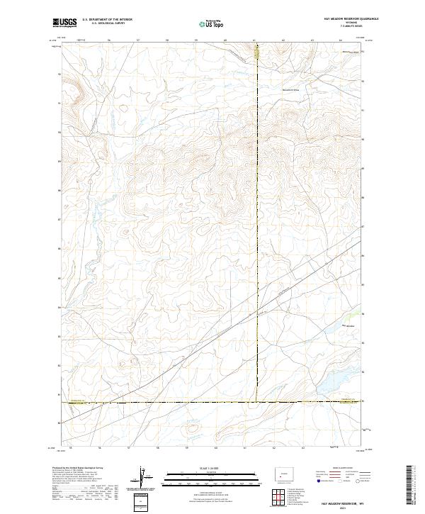
2021 Map of Hay Meadow Reservoir
USGS Topo · Published 2021About this map
Emigrant Trl and the Lander Pinedale Stage Rd cross the high desert landscape of this quadrangle, illustrating the enduring corridors of western transit through Sublette, Fremont, and Sweetwater counties. This remote high-plains terrain is defined by a network of ephemeral watercourses including Dry Sandy Creek, Sulphur Cr, and Whitehorse Cr, which converge toward the Pacific Cr drainage. The map details a landscape transition where historical wagon routes meet modern local infrastructure like McCann Ranch Rd and Dickinson Ave. In the northeastern corner, the Hay Meadow and Monument Draw provide distinctive geographic landmarks amidst the vast basin. The intersection of county lines and township boundaries highlights the administrative complexity of this sparsely populated region, where ranching interests and transit history remain the primary features of the land.
Find a feature on this map
22 named features on this map. Tap any name to fly to it.
Don’t see what you’re looking for? This feature index may not catch every label — zoom into the map to look around manually.
Map Details
Editions of this 2021 Hay Meadow Reservoir Map
This is the sole edition of this map. No revisions or reprints were ever made.
Other maps of this area

1955 · Lander
USGS Topo · 1:250,000

1958 · Lander
USGS Topo · 1:250,000

1958 · Parting of the Ways
USGS Topo · 1:62,500

1958 · Essex Mountain
USGS Topo · 1:62,500

1958 · Hay Meadow Reservoir
USGS Topo · 1:24,000

1958 · Tule Butte
USGS Topo · 1:24,000

1958 · Pacific Springs
USGS Topo · 1:24,000

1958 · Parting of the Ways
USGS Topo · 1:24,000

1958 · Freighter Gap
USGS Topo · 1:62,500

1961 · Lander
USGS Topo · 1:250,000