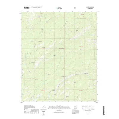
2020 Map of Hay Mesa
USGS Topo · Published 2020About this map
The Continental Divide National Scenic Trail winds through the high-elevation landscape of the Gila National Forest, crossing the Continental Divide at several points. This terrain is defined by a series of prominent mesas and deep drainages, including Hay Mesa and Kelly Mesa, which separate the various forks of the Mimbres River. Ranching and water management infrastructure is evident through numerous tanks, such as Thompson Tank Number Twenty and Lincoln Tank, which support activity in this remote backcountry. Local history and navigation are anchored by landmarks like McKnight Cabin and the curiously named Signboard Saddle. The map documents a network of forest access routes, including Mc Knight Rd and Powder Horn Ridge Rd, providing essential passage through canyons like Cooney Canyon and Rocky Canyon.
Find a feature on this map
58 named features on this map. Tap any name to fly to it.
Don’t see what you’re looking for? This feature index may not catch every label — zoom into the map to look around manually.
Map Details
Editions of this 2020 Hay Mesa Map
This is the sole edition of this map. No revisions or reprints were ever made.
Other maps of this area

1909 · Silver City
USGS Topo · 1:125,000

1911 · Alum Mountain
USGS Topo · 1:125,000

1913 · Alum Mountain
USGS Topo · 1:125,000

1947 · Allie Canyon
USGS Topo · 1:24,000

1948 · Allie Canyon
USGS Topo · 1:24,000

1954 · Tularosa
USGS Topo · 1:250,000

1954 · Silver City
USGS Topo · 1:250,000

1954 · Clifton
USGS Topo · 1:250,000

1955 · Las Cruces
USGS Topo · 1:250,000

1956 · San Lorenzo
USGS Topo · 1:62,500