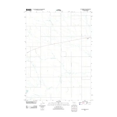
2011 Map of Hay Springs NE
USGS Topo · Published 2011About this map
Hay Springs Creek meanders through this portion of Sheridan County, shaping a rural landscape defined by water management and a network of named country roads. In the southwest, the waters of Walgren Lake provide a prominent landmark, while further north, the Musfelt Dam regulates flow along the upper reaches of Rush Creek. This early 21st-century survey by the U.S. Geological Survey documents the distribution of local infrastructure, including named thoroughfares like Church Rd, Strotheide Rd, and Hay Springs Creek Rd. The drainage patterns and water bodies captured here illustrate the foundational relationship between the region's hydrology and its agricultural development.
Find a feature on this map
7 named features on this map. Tap any name to fly to it.
Don’t see what you’re looking for? This feature index may not catch every label — zoom into the map to look around manually.
Map Details
Editions of this 2011 Hay Springs NE Map
This is the sole edition of this map. No revisions or reprints were ever made.
Other maps of this area

1955 · Alliance
USGS Topo · 1:250,000

1957 · Alliance
USGS Topo · 1:250,000

1958 · Alliance
USGS Topo · 1:250,000

1960 · Hay Springs SW
USGS Topo · 1:24,000

1960 · Hay Springs SE
USGS Topo · 1:24,000

1966 · Rushville
USGS Topo · 1:24,000

1966 · Rushville SW
USGS Topo · 1:24,000

1966 · Hay Springs NE
USGS Topo · 1:24,000

1966 · Hay Springs
USGS Topo · 1:24,000

1969 · Clinton SW
USGS Topo · 1:24,000