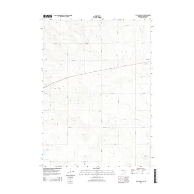
2014 Map of Hay Springs NE
USGS Topo · Published 2014About this map
Walgren Lake and the winding course of Hay Springs Cr define this pocket of Sheridan County, where the High Plains landscape meets the water resources essential for life in the Nebraska Panhandle. The map reveals a strictly gridded system of section roads, such as 580th Rd and 380th Ln, which speak to the enduring patterns of homesteading and agricultural land management in the region. Traversing the terrain from west to east is Us-20, a critical transportation artery that connects these remote rural sections to larger trade centers. While the higher elevations in the north are drained by Rush Cr, the south is anchored by the localized water storage at Musfelt Reservoir. This 2014 survey documents the modern state of these rural corridors, providing a detailed record of the intersections and named trails like 370th Trl that facilitate movement through this open country.
Find a feature on this map
21 named features on this map. Tap any name to fly to it.
Don’t see what you’re looking for? This feature index may not catch every label — zoom into the map to look around manually.
Map Details
Editions of this 2014 Hay Springs NE Map
This is the sole edition of this map. No revisions or reprints were ever made.
Other maps of this area

1955 · Alliance
USGS Topo · 1:250,000

1957 · Alliance
USGS Topo · 1:250,000

1958 · Alliance
USGS Topo · 1:250,000

1960 · Hay Springs SW
USGS Topo · 1:24,000

1960 · Hay Springs SE
USGS Topo · 1:24,000

1966 · Rushville
USGS Topo · 1:24,000

1966 · Rushville SW
USGS Topo · 1:24,000

1966 · Hay Springs NE
USGS Topo · 1:24,000

1966 · Hay Springs
USGS Topo · 1:24,000

1969 · Clinton SW
USGS Topo · 1:24,000