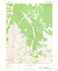
1960 Map of Hayden Peak
USGS Topo · Published 1964About this map
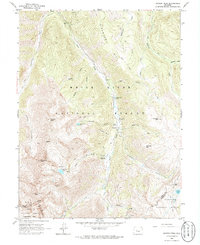
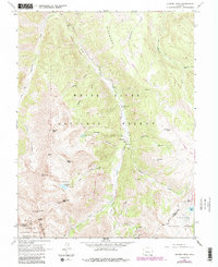
Ashcroft serves as the focal point for this high-altitude survey of the Elk Mountains, situated along the winding course of Castle Creek. The landscape is a complex network of geological extraction and early alpine tourism, evidenced by the presence of the Montezuma Mine, Hope Mine, and several unnamed prospects and quarries scattered across the slopes of Hayden Peak and Richmond Hill. The transition from mining to recreation is visible through landmarks like Toklat Lodge and Elk Mountain Lodge, alongside multiple campgrounds including the Pine Creek Campground. Movement through this high country in the early 1960s was defined by primitive routes, with numerous segments labeled as Jeep Trail or Pack Trail crossing over Electric Pass and Taylor Pass to connect the White River and Gunnison National Forest regions.
Find a feature on this map
48 named features on this map. Tap any name to fly to it.
Don’t see what you’re looking for? This feature index may not catch every label — zoom into the map to look around manually.
Map Details
Editions of this 1960 Hayden Peak Map
6 editions found
Other maps of this area

1888 · Crested Butte
USGS Topo · 1:62,500

1889 · Crested Butte
USGS Topo · 1:62,500

1893 · Crested Butte
USGS Topo · 1:62,500

1893 · Aspen
USGS Topo · 1:62,500

1895 · Aspen
USGS Topo · 1:62,500

1909 · Mount Jackson
USGS Topo · 1:125,000

1911 · Mount Jackson
USGS Topo · 1:125,000

1934 · Taylor Park
USGS Topo · 1:62,500

1937 · Taylor Park
USGS Topo · 1:62,500

1956 · Montrose
USGS Topo · 1:250,000