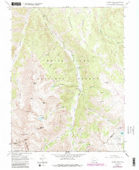
1960 Map of Hayden Peak
USGS Topo · Published 1988About this map
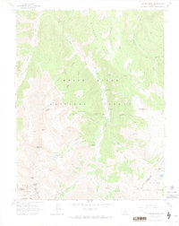
Ashcroft serves as the central focal point of this high-altitude survey, positioned along Castle Creek in the valley between towering peaks. The map documents a landscape transitioning from its mining history to a center for alpine recreation and conservation. Evidence of early industry remains visible at the Montezuma Mine near Malamute Peak and the Hope Mine further north, while the presence of Elk Mountain Lodge and Toklat Lodge indicates the area's mid-century development. High alpine passes such as Electric Pass and Taylor Pass link these steep drainage basins, which are protected within several expansive federal lands, including the White River National Forest and the Collegiate Peaks Wilderness. The intricate drainage patterns of Fall Creek and Conundrum Creek illustrate the complex watershed that defines the Pitkin and Gunnison county line.
Find a feature on this map
46 named features on this map. Tap any name to fly to it.
Don’t see what you’re looking for? This feature index may not catch every label — zoom into the map to look around manually.
Map Details
Editions of this 1960 Hayden Peak Map
6 editions found
Other maps of this area

1888 · Crested Butte
USGS Topo · 1:62,500

1889 · Crested Butte
USGS Topo · 1:62,500

1893 · Crested Butte
USGS Topo · 1:62,500

1893 · Aspen
USGS Topo · 1:62,500

1895 · Aspen
USGS Topo · 1:62,500

1909 · Mount Jackson
USGS Topo · 1:125,000

1911 · Mount Jackson
USGS Topo · 1:125,000

1934 · Taylor Park
USGS Topo · 1:62,500

1937 · Taylor Park
USGS Topo · 1:62,500

1956 · Montrose
USGS Topo · 1:250,000