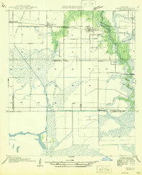
1946 Map of Hayes
USGS Topo · Published 1946About this map
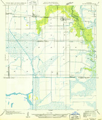
Hayes and the surrounding coastal prairie transition into the sprawling marshlands of the Calcasieu Parish and Jefferson Davis Parish borderlands in the mid-1940s. The landscape is defined by an extensive water management network designed for rice cultivation and drainage, featuring the Bell City Drainage Canal and the Morgan Canal. Industry is represented by the Illinois Plant and specialized infrastructure like the Guillory Pump House. The Southern Pacific railroad cuts across the northern reaches, serving small settlements and sidings like Pansy Spur and Rossignol. To the south, the terrain softens into Willow Marsh and the distinctive Wild Island, where the meandering Bayou Lacassine and Bayou Chene dictate the natural geography. This survey provides a precise view of the rural infrastructure and agricultural patterns before late-century developments altered the local hydrology.
Find a feature on this map
25 named features on this map. Tap any name to fly to it.
Don’t see what you’re looking for? This feature index may not catch every label — zoom into the map to look around manually.
Map Details
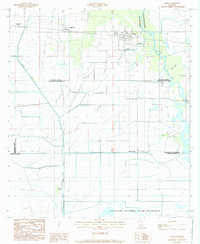
Editions of this 1946 Hayes Map
This is the sole edition of this map. No revisions or reprints were ever made.
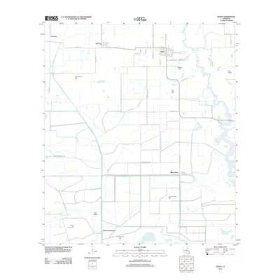
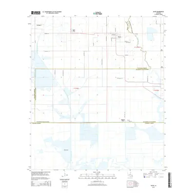
Historical Maps of Hayes Through Time
8 maps found