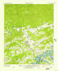
1937 Map of Hayesville
USGS Topo · Published 1957About this map
Hayesville serves as the central hub of this 1937 survey, situated at the confluence of several mountain valleys before the significant landscape alterations of the mid-20th century. The Hiwassee River and Tusquitee River dominate the drainage system, winding through a terrain defined by the Nantahala Mountains and Tusquitee Mountains. One of the most striking visual elements is the blue stipple indicating areas to be submerged by Chatuge Lake, providing a clear record of the valley floor's original topography before the reservoir's creation.
Find a feature on this map
47 named features on this map. Tap any name to fly to it.
Don’t see what you’re looking for? This feature index may not catch every label — zoom into the map to look around manually.
Map Details
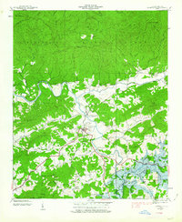
Editions of this 1937 Hayesville Map
2 editions found
Other maps of this area

1886 · Dahlonega
USGS Topo · 1:125,000

1892 · Dahlonega
USGS Topo · 1:125,000

1896 · Dahlonega
USGS Topo · 1:125,000

1903 · Dahlonega
USGS Topo · 1:125,000

1935 · Peachtree
USGS Topo · 1:24,000

1935 · Osborn
USGS Topo · 1:24,000

1935 · Shooting Creek
USGS Topo · 1:24,000

1935 · Topton
USGS Topo · 1:24,000

1935 · Marble
USGS Topo · 1:24,000

1935 · Wayah Bald
USGS Topo · 1:48,000