Loading...
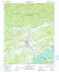
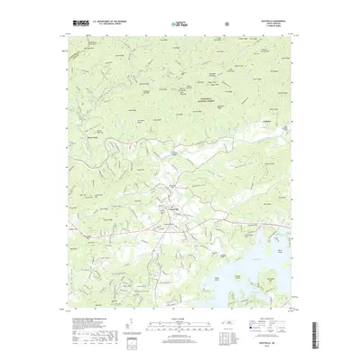
Loading map...1937 Map of Hayesville
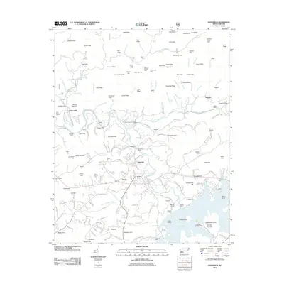
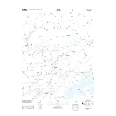
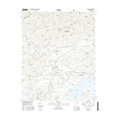
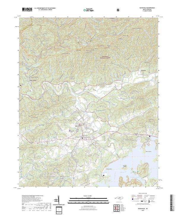
USGS Topo · Published 1963About this map
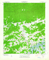
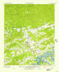
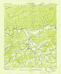
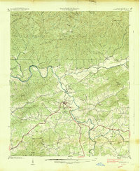
Hayesville serves as the focal point of this 1937 topographic survey, situated at the confluence of several mountain waterways. The town landscape is defined by the Hiwassee River and the newly formed Chatuge Lake, with the Hayesville Reservoir providing early water infrastructure. The survey documents a transition in the local economy from traditional mountain farming toward managed water resources under the Tennessee Valley Authority.
Find a feature on this map
64 named features on this map. Tap any name to fly to it.
Don’t see what you’re looking for? This feature index may not catch every label — zoom into the map to look around manually.
Map Details
Date Portrayed1937
Date Published1963
PublisherU.S. Geological Survey
Map TypeTopographic
Scale1:24,000
Physical Dimensions22 x 26.8 inches
Editions of this 1937 Hayesville Map
2 editions found
Historical Maps of Hayesville Through Time
9 maps found
Featured Locations
Source Details
SourceU.S. Geological Survey
CopyrightPublic Domain