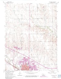
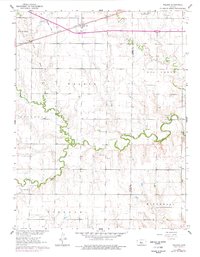
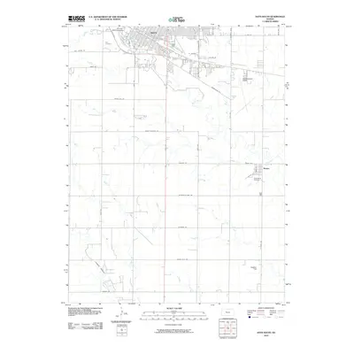
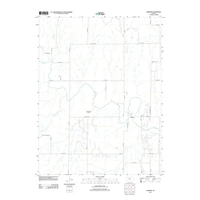
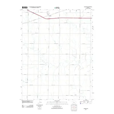
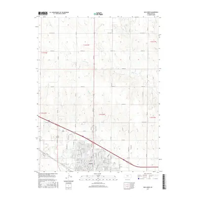
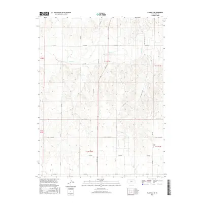
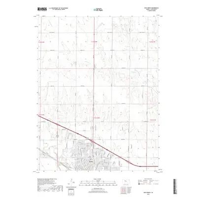
1961 Map of Hays North
USGS Topo · Published 1983About this map
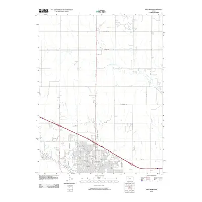
The city of Hays serves as the central hub of this 1960s-era survey, revealing an urban landscape defined by educational institutions and historical burial grounds. The presence of Fort Hays State College, St Joseph Academy, and numerous parochial and public schools like St Joseph Sch and Lincoln Sch highlights the community's mid-century civic investment. Along the southern edge, the Union Pacific railroad tracks and Big Creek anchor the town's geography, while the northern reaches transition into a landscape heavily marked by resource extraction. The terrain is dotted with numerous quarries, gravel pits, and Oil Wells, particularly concentrated near the North Fork Big Creek. Notable landmarks include St Joseph Cem and Mt Allen Cem, providing essential points of reference for genealogists tracing local family histories in this Kansas plains environment.
Find a feature on this map
29 named features on this map. Tap any name to fly to it.
Don’t see what you’re looking for? This feature index may not catch every label — zoom into the map to look around manually.
Map Details
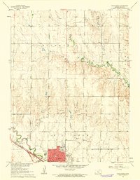
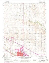
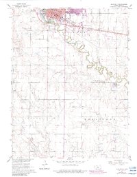
Editions of this 1961 Hays North Map
3 editions found
Historical Maps of Hays Through Time
72 maps found

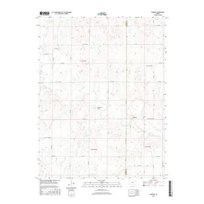
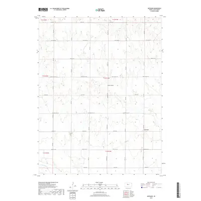
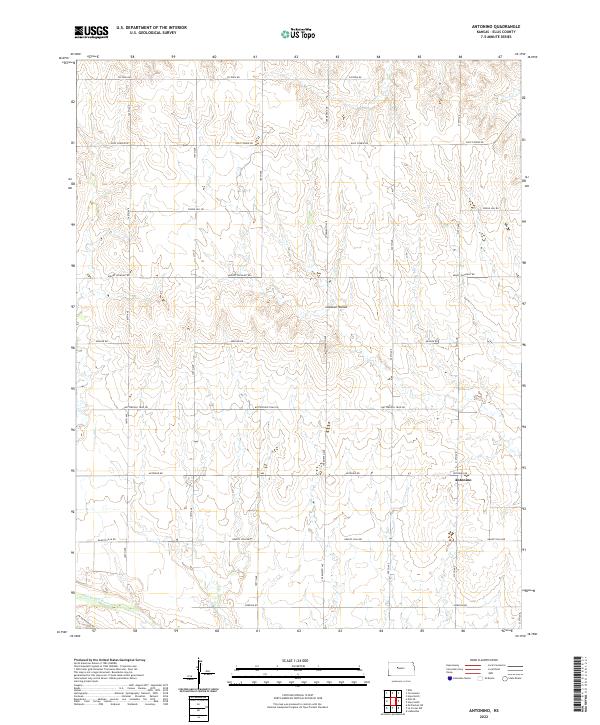
1961 Antonino
Ellis County, KS
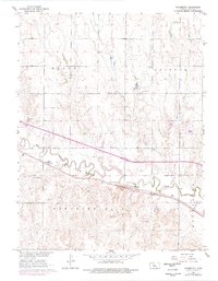
1961 Hays North
Ellis County, KS
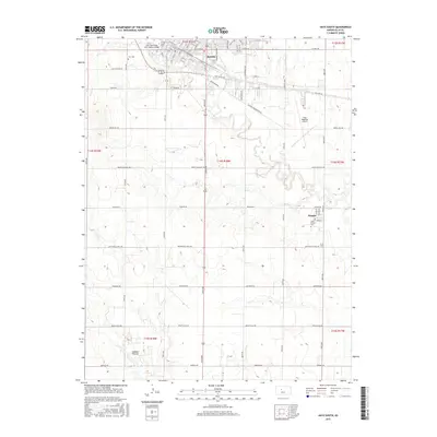
1961 Hays South
Ellis County, KS
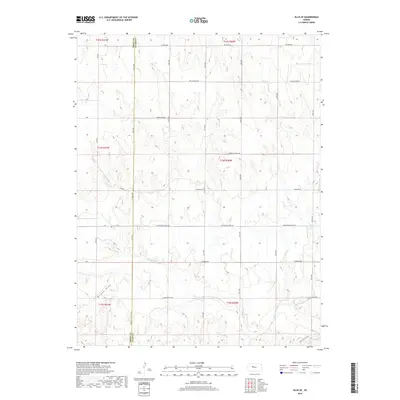
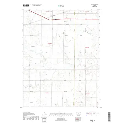
1961 Walker
Ellis County, KS
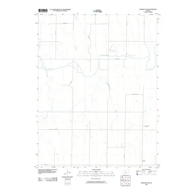
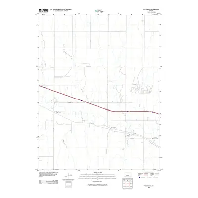
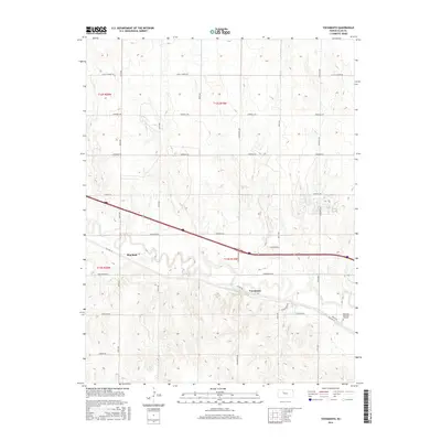
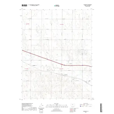
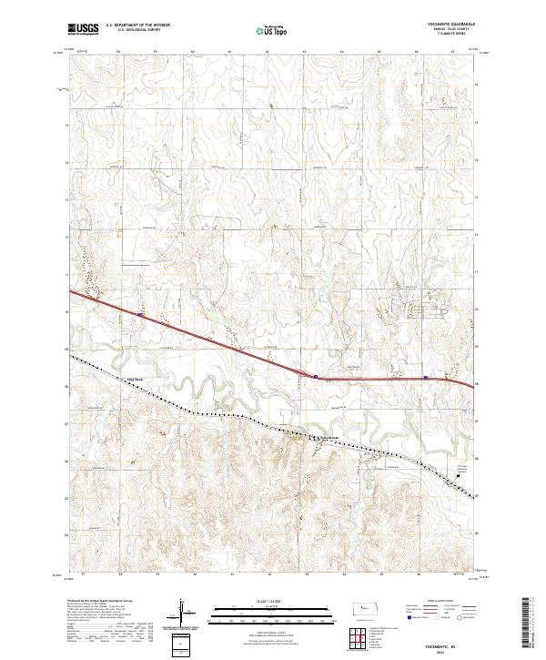
1961 Yocemento
Ellis County, KS

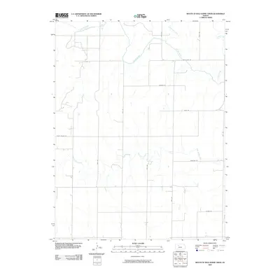
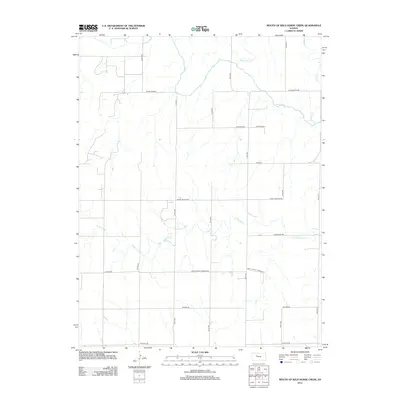
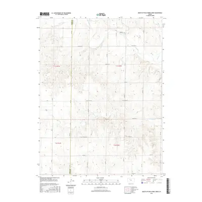
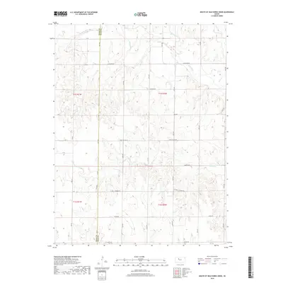
1963 Mouth of Wild Horse Creek
Ellis County, KS

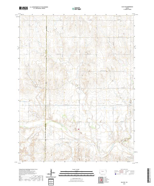
1974 Ellis SE
Ellis County, KS

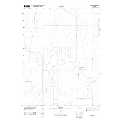
1978 Fairport
Ellis County, KS

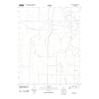
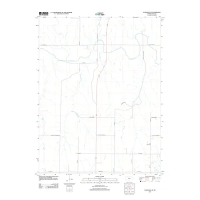
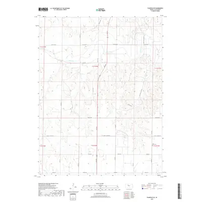
1978 Plainville SE
Ellis County, KS

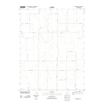
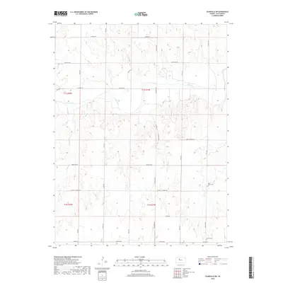
1978 Plainville SW
Ellis County, KS

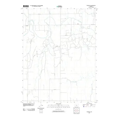
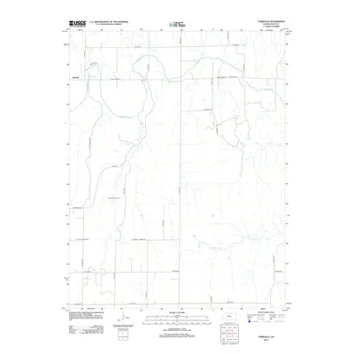
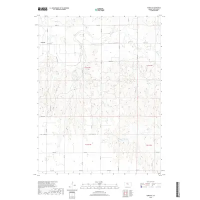
1978 Turkville
Ellis County, KS

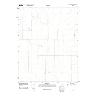
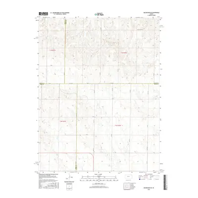
1980 Mc Cracken NE
Ellis County, KS
2009 Antonino
Ellis County, KS
2009 Ellis SE
Ellis County, KS
2009 Fairport
Ellis County, KS
2009 McCracken NE
Ellis County, KS
2009 Mouth of Wild Horse Creek
Ellis County, KS
2009 Plainville SE
Ellis County, KS
2009 Plainville SW
Ellis County, KS
2009 Turkville
Ellis County, KS
2009 Yocemento
Ellis County, KS
2010 Hays North
Ellis County, KS
2010 Hays South
Ellis County, KS
2010 Walker
Ellis County, KS
2012 Antonino
Ellis County, KS
2012 Ellis SE
Ellis County, KS
2012 Fairport
Ellis County, KS
2012 Hays North
Ellis County, KS
2012 Hays South
Ellis County, KS
2012 McCracken NE
Ellis County, KS
2012 Mouth of Wild Horse Creek
Ellis County, KS
2012 Plainville SE
Ellis County, KS
2012 Plainville SW
Ellis County, KS
2012 Turkville
Ellis County, KS
2012 Walker
Ellis County, KS
2012 Yocemento
Ellis County, KS
2015 Antonino
Ellis County, KS
2015 Ellis SE
Ellis County, KS
2015 Fairport
Ellis County, KS
2015 Hays North
Ellis County, KS
2015 Hays South
Ellis County, KS
2015 McCracken NE
Ellis County, KS
2015 Plainville SE
Ellis County, KS
2015 Plainville SW
Ellis County, KS
2015 Turkville
Ellis County, KS
2015 Walker
Ellis County, KS
2016 Mouth of Wild Horse Creek
Ellis County, KS
2016 Yocemento
Ellis County, KS
2018 Antonino
Ellis County, KS
2018 Ellis SE
Ellis County, KS
2018 Fairport
Ellis County, KS
2018 Hays North
Ellis County, KS
2018 Hays South
Ellis County, KS
2018 McCracken NE
Ellis County, KS
2018 Mouth of Wild Horse Creek
Ellis County, KS
2018 Plainville SE
Ellis County, KS
2018 Plainville SW
Ellis County, KS
2018 Turkville
Ellis County, KS
2018 Walker
Ellis County, KS
2018 Yocemento
Ellis County, KS
2022 Antonino
Ellis County, KS
2022 Ellis SE
Ellis County, KS
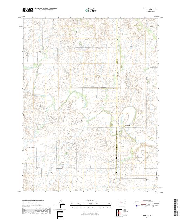
2022 Fairport
Ellis County, KS
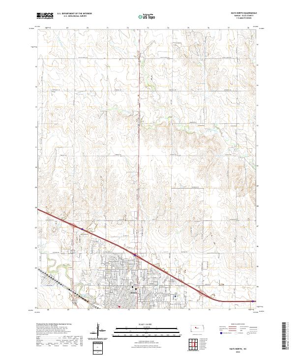
2022 Hays North
Ellis County, KS
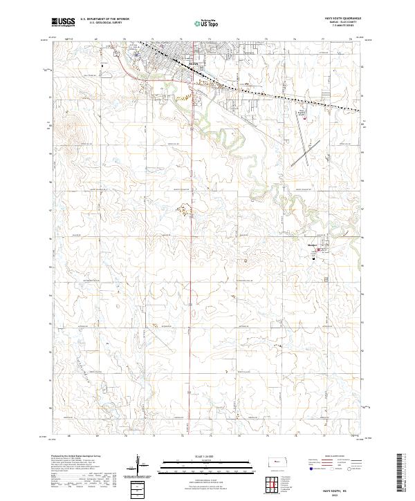
2022 Hays South
Ellis County, KS
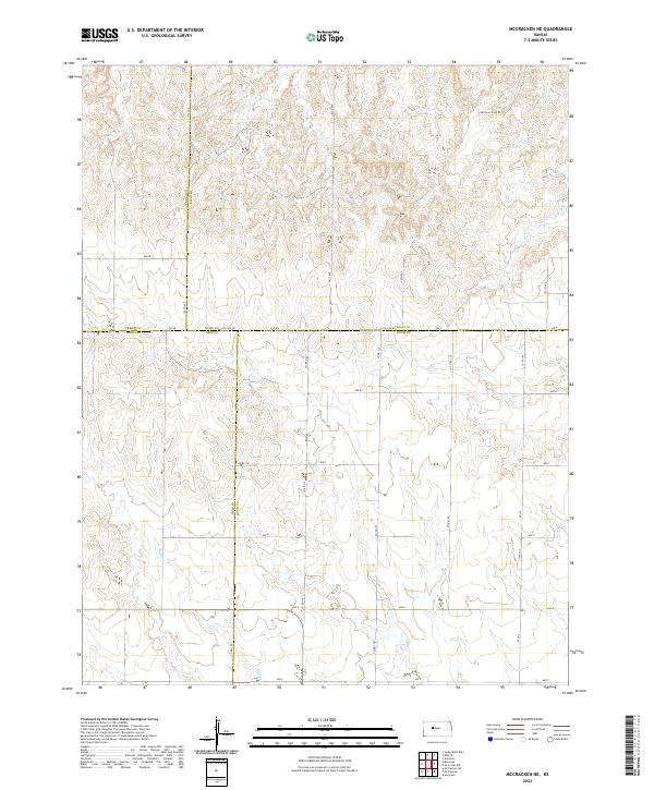
2022 McCracken NE
Ellis County, KS
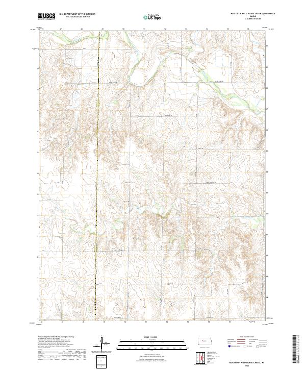
2022 Mouth of Wild Horse Creek
Ellis County, KS
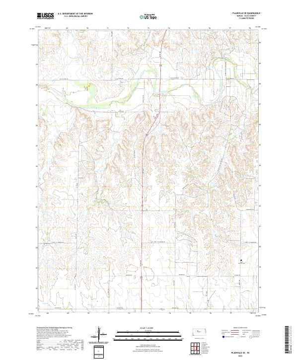
2022 Plainville SE
Ellis County, KS
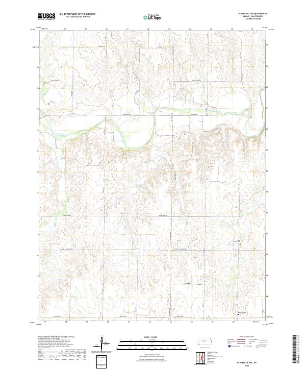
2022 Plainville SW
Ellis County, KS

2022 Turkville
Ellis County, KS
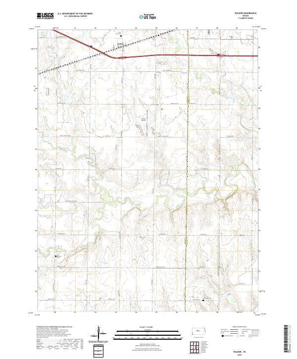
2022 Walker
Ellis County, KS
2022 Yocemento
Ellis County, KS