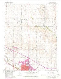
1961 Map of Hays North
USGS Topo · Published 1977About this map
The growing city of Hays dominates the southern portion of this landscape, established as a major regional hub along the Union Pacific railroad. The 1961 topography, updated with mid-1970s suburban expansion, reveals a concentration of educational and religious institutions including St Joseph Academy, Fort Hays State College, and several parochial schools like St Marys Sch. The urban center is framed by the courses of Big Creek and Chetolah Creek, which snake through the prairie landscape toward the southeast.
Find a feature on this map
37 named features on this map. Tap any name to fly to it.
Don’t see what you’re looking for? This feature index may not catch every label — zoom into the map to look around manually.
Map Details
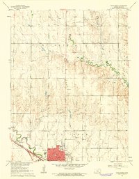
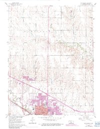
Editions of this 1961 Hays North Map
3 editions found
Other maps of this area

1896 · Hays
USGS Topo · 1:125,000

1896 · Plainville
USGS Topo · 1:125,000

1955 · Great Bend
USGS Topo · 1:250,000

1955 · Beloit
USGS Topo · 1:250,000

1957 · Great Bend
USGS Topo · 1:250,000

1958 · Great Bend
USGS Topo · 1:250,000

1959 · Beloit
USGS Topo · 1:250,000

1961 · Yocemento
USGS Topo · 1:24,000

1961 · Hays South
USGS Topo · 1:24,000

1961 · Catharine
USGS Topo · 1:24,000