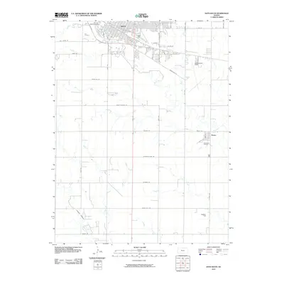
2010 Map of Hays South
USGS Topo · Published 2010About this map
Fort Hays State University anchors the northern edge of this study, where the city of Hays transitions into the agrarian landscape of Ellis County. The meandering course of Big Creek and its tributary Chetolah Creek define the drainage patterns south of the city, carving through the terrain near Lookout Hollow. This era shows a structured grid of section-line roads, including the historically named Butterfield Trail Rd, which reflects the region's heritage as a transit corridor across the High Plains.
Find a feature on this map
43 named features on this map. Tap any name to fly to it.
Don’t see what you’re looking for? This feature index may not catch every label — zoom into the map to look around manually.
Map Details
Editions of this 2010 Hays South Map
This is the sole edition of this map. No revisions or reprints were ever made.
Other maps of this area

1896 · Hays
USGS Topo · 1:125,000

1955 · Great Bend
USGS Topo · 1:250,000

1957 · Great Bend
USGS Topo · 1:250,000

1958 · Great Bend
USGS Topo · 1:250,000

1961 · Yocemento
USGS Topo · 1:24,000

1961 · Hays South
USGS Topo · 1:24,000

1961 · Catharine
USGS Topo · 1:24,000
1961 · Hays North
USGS Topo · 1:24,000

1961 · Antonino
USGS Topo · 1:24,000

1961 · Victoria
USGS Topo · 1:24,000