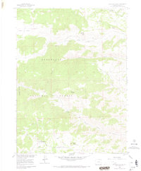
1960 Map of Haystack Gulch
USGS Topo · Published 1968About this map
Roosevelt National Forest dominates this mountain landscape, defined by the intricate branching of the Rabbit Creek system. In the early 1960s, this area of the Front Range remained largely undeveloped, with human activity centered around the small settlement of Log Cabin and the nearby Lone Pine Sch. The topography is marked by named heights like Sheep Mountain and Blacktail Point, while the northern portion of the sheet is characterized by the open expanse of Prairie Divide. Water management and natural springs are evident throughout the terrain, feeding into larger drainages such as Lone Pine Creek and Gordon Creek. Industrial footprints are minimal but present, notably at Sloans Quarry, suggesting localized resource extraction. The road network, including the Red Feather Road and Lakes Road, provides a clear view of the historic transit corridors through this part of Larimer County.
Find a feature on this map
26 named features on this map. Tap any name to fly to it.
Don’t see what you’re looking for? This feature index may not catch every label — zoom into the map to look around manually.
Map Details
Editions of this 1960 Haystack Gulch Map
4 editions found
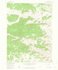
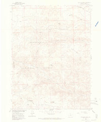
Other maps of this area

1907 · Livermore
USGS Topo · 1:125,000

1909 · Livermore
USGS Topo · 1:125,000

1916 · Home
USGS Topo · 1:125,000

1920 · Home
USGS Topo · 1:125,000

1954 · Greeley
USGS Topo · 1:250,000

1957 · Greeley
USGS Topo · 1:250,000

1958 · Greeley
USGS Topo · 1:250,000

1960 · Haystack Gulch
USGS Topo · 1:24,000

1960 · Livermore Mountain
USGS Topo · 1:24,000

1961 · Greeley
USGS Topo · 1:250,000