
1951 Map of Hazard
USGS Topo · Published 1953About this map
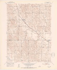
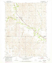
Hazard and Sweetwater anchor this central Nebraska landscape, which is defined by the winding course of Mud Creek and the diagonal path of the Chicago Burlington and Quincy railroad. The map illustrates a rural social structure built around localized education, evidenced by the numerous district schools such as Pleasant Hill Sch, Cappelen Sch, and Newberg Sch. Near the village of Hazard, the Hazard Cem and a nearby Landing Strip show the balance of long-standing community sites and mid-century transportation needs. To the northwest, the Litchfield Recreation Grounds provide a designated space for leisure along the creek, while the boundary between Sherman and Buffalo Counties cuts across the southern portion of the survey, dividing the townships of Scott, Hazard, Loup, and Beaver.
Find a feature on this map
21 named features on this map. Tap any name to fly to it.
Don’t see what you’re looking for? This feature index may not catch every label — zoom into the map to look around manually.
Map Details
Editions of this 1951 Hazard Map
3 editions found
Other maps of this area

1896 · Kearney
USGS Topo · 1:125,000

1896 · Wood River
USGS Topo · 1:125,000

1899 · Loup
USGS Topo · 1:125,000

1951 · Litchfield SW
USGS Topo · 1:24,000

1951 · Litchfield NE
USGS Topo · 1:24,000

1951 · Litchfield
USGS Topo · 1:24,000

1953 · Ravenna NW
USGS Topo · 1:24,000

1953 · Ravenna
USGS Topo · 1:24,000

1955 · Broken Bow
USGS Topo · 1:250,000

1955 · Grand Island
USGS Topo · 1:250,000