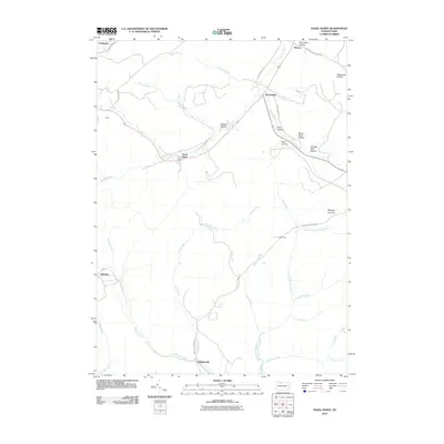
2010 Map of Hazel Hurst
USGS Topo · Published 2010About this map
Marvin Creek and its many winding tributaries define the topography of this McKean County landscape, where small settlements are linked by a network of rural roads such as Marvindale Rd and Wilcox Clermont Rd. The map illustrates a region deeply shaped by its drainage patterns and timber history, evident in the numerous named ravines like Shingle Mill Hollow and Stone Dock Hollow. At the heart of the area, the community of Hazel Hurst sits at a junction of creek valleys, while further south, the East Branch Clarion River begins its course through a series of narrow hollows.
Find a feature on this map
39 named features on this map. Tap any name to fly to it.
Don’t see what you’re looking for? This feature index may not catch every label — zoom into the map to look around manually.
Map Details
Editions of this 2010 Hazel Hurst Map
This is the sole edition of this map. No revisions or reprints were ever made.
Other maps of this area

1924 · Bradford
USGS Topo · 1:62,500

1926 · Bradford
USGS Topo · 1:62,500

1933 · Smethport
USGS Topo · 1:62,500

1935 · Mt. Jewett
USGS Topo · 1:48,000

1937 · Smethport
USGS Topo · 1:62,500

1940 · Mt. Jewett
USGS Topo · 1:62,500

1941 · Bradford
USGS Topo · 1:62,500

1944 · Bradford
USGS Topo · 1:62,500

1948 · Crosby
USGS Topo · 1:62,500

1948 · Wildwood Fire Tower
USGS Topo · 1:24,000
Featured Places
- Mount Jewett, PA
- Kasson, Hamlin Township
- Hazel Hurst, Hamlin Township
- Williamsville, Sergeant Township
- Jones Township, PA