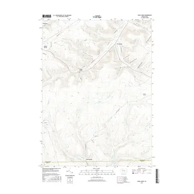
2016 Map of Hazel Hurst
USGS Topo · Published 2016About this map
Mount Jewett and the village of Hazel Hurst anchor this map of McKean County's high country, where the landscape is defined by deep drainage patterns and historic timber-related toponyms. The map tracks the descent from Bishops Summit into a series of deeply carved valleys, including Shingle Mill Hollow and Stone Dock Hollow, which suggest the area's industrial legacy. In the lower reaches, the Cathrine Swamp feeds into Fivemile Run, while the southern boundary follows the McKean and Elk County line. The presence of Railroad Grade Rd near Marvindale provides a look at the former transit routes that once moved resources through these Allegheny plateaus. These topographic details preserve the footprints of 19th-century resource extraction long after the primary mills have moved on.
Find a feature on this map
53 named features on this map. Tap any name to fly to it.
Don’t see what you’re looking for? This feature index may not catch every label — zoom into the map to look around manually.
Map Details
Editions of this 2016 Hazel Hurst Map
This is the sole edition of this map. No revisions or reprints were ever made.
Other maps of this area

1924 · Bradford
USGS Topo · 1:62,500

1926 · Bradford
USGS Topo · 1:62,500

1933 · Smethport
USGS Topo · 1:62,500

1935 · Mt. Jewett
USGS Topo · 1:48,000

1937 · Smethport
USGS Topo · 1:62,500

1940 · Mt. Jewett
USGS Topo · 1:62,500

1941 · Bradford
USGS Topo · 1:62,500

1944 · Bradford
USGS Topo · 1:62,500

1948 · Crosby
USGS Topo · 1:62,500

1948 · Wildwood Fire Tower
USGS Topo · 1:24,000
Featured Places
- Mount Jewett, PA
- Kasson, Hamlin Township
- Hazel Hurst, Hamlin Township
- Williamsville, Sergeant Township
- Jones Township, PA