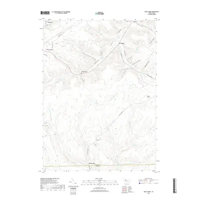
2019 Map of Hazel Hurst
USGS Topo · Published 2019About this map
Mount Jewett and the surrounding high country of the Allegheny Plateau are defined by deep drainage systems and early industrial corridors. The map traces the upper reaches of the East Branch Clarion River as it flows south toward the McKean and Elk County line near Williamsville. The landscape is heavily carved by a series of hollows, including Wildcat Hollow, Slick Hollow, and Shingle Mill Hollow, which speak to the timbering history of this region. Settlement patterns follow the narrow valley floors and ridgelines, with Hazel Hurst and Marvindale positioned along Marvin Creek. Evidence of former infrastructure is visible in the Railroad Grade Rd, which follows the contours of the terrain through Wildcat Hollow. To the east, Bishops Summit marks a significant high point, while the Cathrine Swamp and various runs like Sevenmile Run and Gum Boot Run illustrate the complex hydrology of this high-altitude watershed.
Find a feature on this map
58 named features on this map. Tap any name to fly to it.
Don’t see what you’re looking for? This feature index may not catch every label — zoom into the map to look around manually.
Map Details
Editions of this 2019 Hazel Hurst Map
This is the sole edition of this map. No revisions or reprints were ever made.
Other maps of this area

1924 · Bradford
USGS Topo · 1:62,500

1926 · Bradford
USGS Topo · 1:62,500

1933 · Smethport
USGS Topo · 1:62,500

1935 · Mt. Jewett
USGS Topo · 1:48,000

1937 · Smethport
USGS Topo · 1:62,500

1940 · Mt. Jewett
USGS Topo · 1:62,500

1941 · Bradford
USGS Topo · 1:62,500

1944 · Bradford
USGS Topo · 1:62,500

1948 · Crosby
USGS Topo · 1:62,500

1948 · Wildwood Fire Tower
USGS Topo · 1:24,000
Featured Places
- Mount Jewett, PA
- Kasson, Hamlin Township
- Hazel Hurst, Hamlin Township
- Williamsville, Sergeant Township
- Jones Township, PA