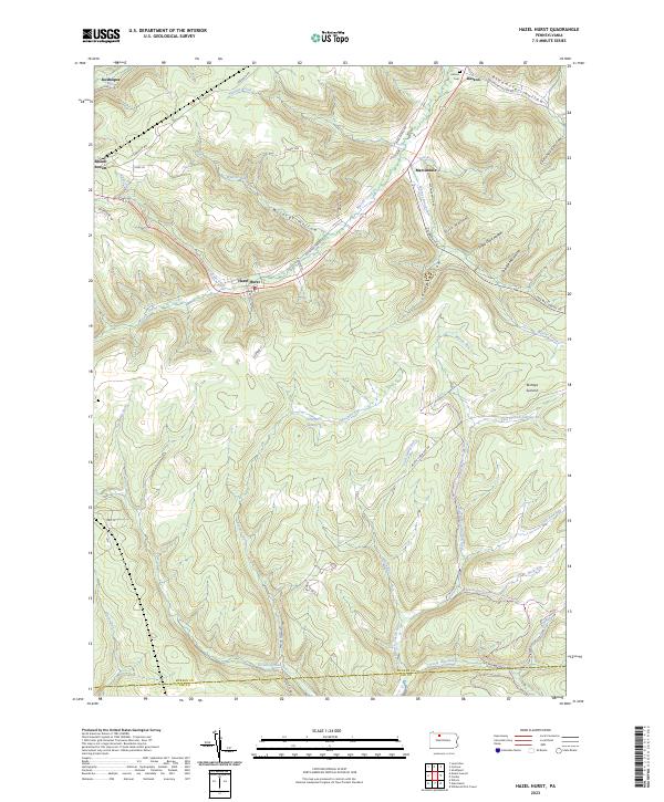
2023 Map of Hazel Hurst
USGS Topo · Published 2023About this map
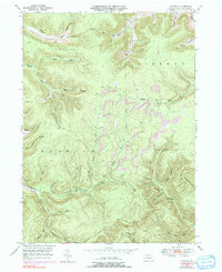
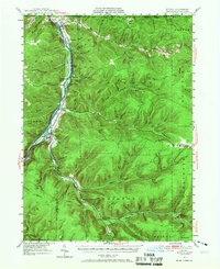
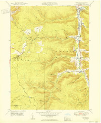
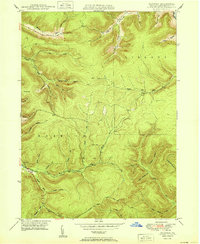
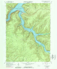
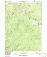
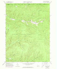
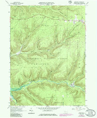
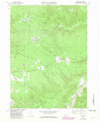
Hazel Hurst and Mount Jewett anchor this part of the Allegheny Plateau, where the landscape is defined by the deep valleys of Marvin Creek and the East Branch Clarion River. The presence of Railroad Grade Rd near the Wildcat Hollow points to the area's industrial history of timber or coal transit, even as much of the land has transitioned to recreation. Higher elevations like Bishops Summit overlook a dense network of smaller runs and hollows, including Shetlander Hollow and Stone Dock Hollow. For genealogists, the map identifies the Kasson Cem near the small settlement of Kasson at the northern edge of the sheet. Further south, the terrain becomes more secluded, featuring the Catharine Swamp and a variety of seasonal waterways such as Sevenmile Run and Fivemile Run.
Find a feature on this map
49 named features on this map. Tap any name to fly to it.
Don’t see what you’re looking for? This feature index may not catch every label — zoom into the map to look around manually.
Map Details
Editions of this 2023 Hazel Hurst Map
This is the sole edition of this map. No revisions or reprints were ever made.
Historical Maps of Kasson Through Time
27 maps found

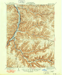
1936 Kinzua
McKean County, PA
1941 Kinzua
McKean County, PA
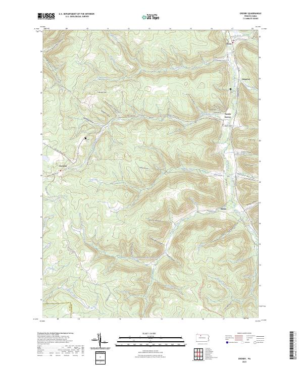
1948 Crosby
McKean County, PA
1948 Crosby
McKean County, PA
1948 Norwich
McKean County, PA
1949 Kinzua
McKean County, PA
1950 Crosby
McKean County, PA
1950 Norwich
McKean County, PA
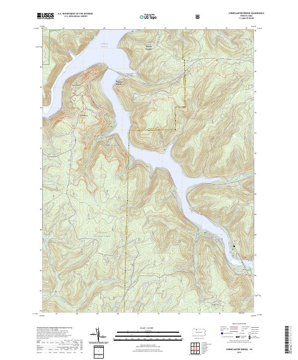
1966 Cornplanter Bridge
McKean County, PA
1966 Ludlow
McKean County, PA
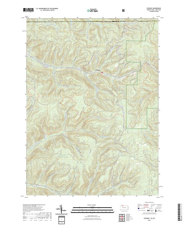
1966 Stickney
McKean County, PA
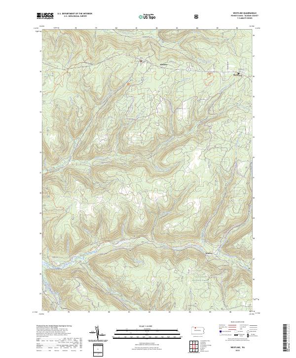
1966 Westline
McKean County, PA
1969 Cyclone
McKean County, PA
1969 Derrick City
McKean County, PA
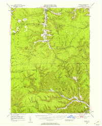
1969 Hazel Hurst
McKean County, PA
1969 Mt. Jewett
McKean County, PA
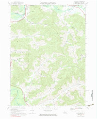
1970 Bullis Mills
McKean County, PA
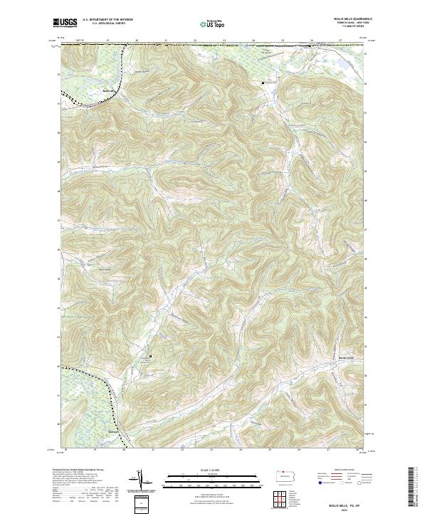
2023 Bullis Mills
McKean County, PA
2023 Cornplanter Bridge
McKean County, PA
2023 Crosby
McKean County, PA
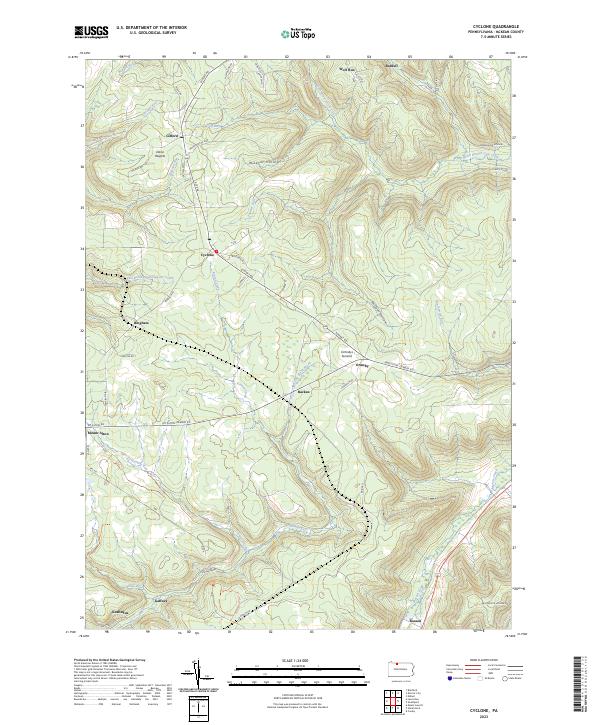
2023 Cyclone
McKean County, PA
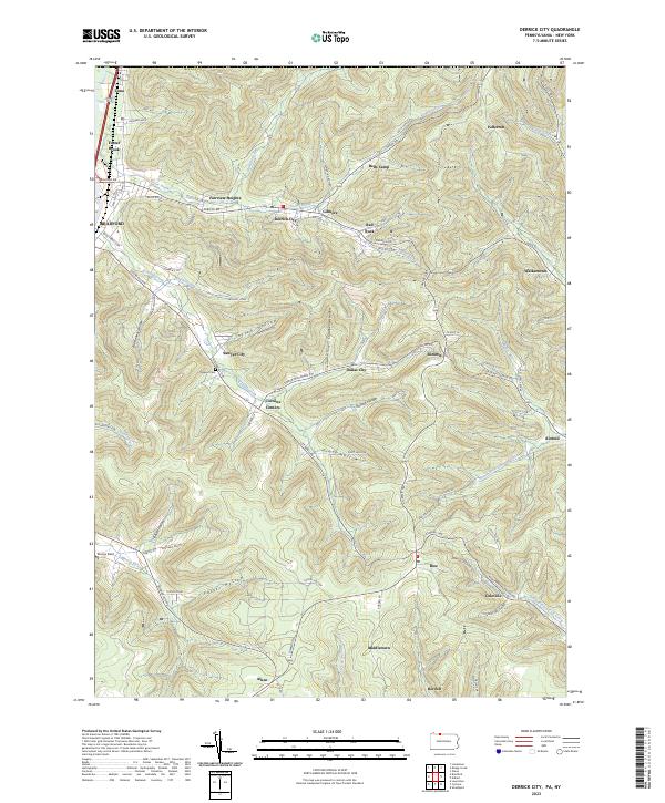
2023 Derrick City
McKean County, PA
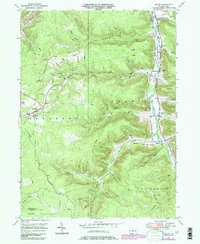
2023 Hazel Hurst
McKean County, PA
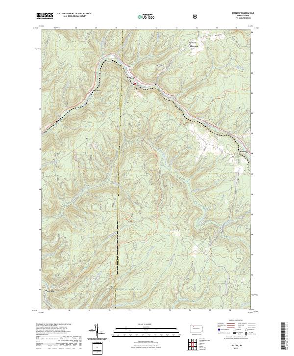
2023 Ludlow
McKean County, PA
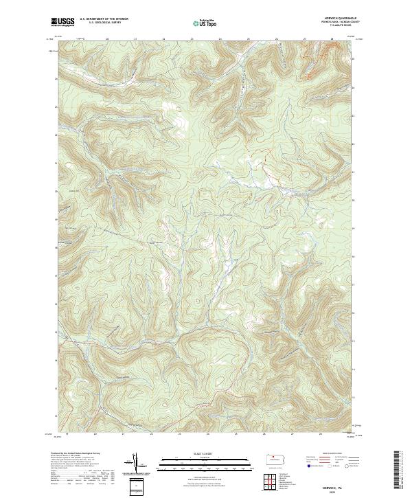
2023 Norwich
McKean County, PA
2023 Stickney
McKean County, PA
2023 Westline
McKean County, PA
Featured Locations
- Hamlin Township, PA
- Mount Jewett, PA
- Williamsville, Sergeant Township
- Hazel Hurst, Hamlin Township
- Kasson, Hamlin Township