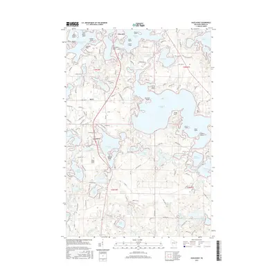
2015 Map of Hazelhurst
USGS Topo · Published 2015About this map
The glacial landscape of Oneida County is defined by an intricate network of waterways, centered around the sprawling Tomahawk Lake and Minocqua Lake. This 2015 survey of the Hazelhurst area captures a transition from the denser northern settlement of Minocqua to the more dispersed residential and resort patterns surrounding smaller bodies like Katherine Lake and Lower Kaubashine Lake. The map reveals the critical importance of water access in this region, with numerous named islands such as Olmstead Island and Picnic Island, alongside specialized features like the Tomahawk Thoroughfare.
Find a feature on this map
199 named features on this map. Tap any name to fly to it.
Don’t see what you’re looking for? This feature index may not catch every label — zoom into the map to look around manually.
Map Details
Editions of this 2015 Hazelhurst Map
This is the sole edition of this map. No revisions or reprints were ever made.
Other maps of this area

1938 · Minocqua
USGS Topo · 1:48,000

1938 · Lac Du Flambeau
USGS Topo · 1:48,000

1939 · Lac Du Flambeau
USGS Topo · 1:48,000

1939 · Mc Cord
USGS Topo · 1:48,000

1939 · Cassian
USGS Topo · 1:48,000

1942 · Cassian
USGS Topo · 1:48,000

1946 · Minocqua
USGS Topo · 1:48,000

1946 · Lac Du Flambeau
USGS Topo · 1:48,000

1947 · Mc Cord
USGS Topo · 1:48,000

1949 · Minocqua
USGS Topo · 1:48,000