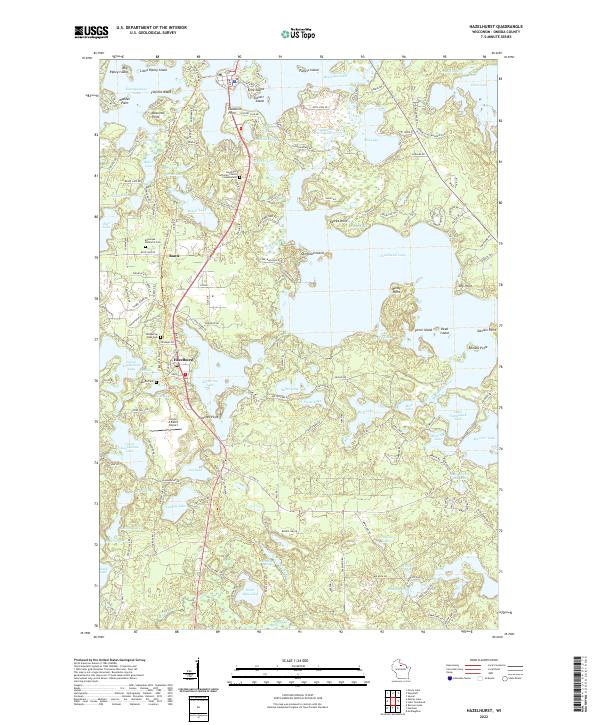
2022 Map of Hazelhurst
USGS Topo · Published 2022About this map
Glacial lake country dominates this corner of Oneida County, where the settlement of Hazelhurst sits surrounded by a dense network of water bodies. The landscape is defined by its irregular shorelines and numerous named points and islands, such as Tigertail Point on Katherine Lake and Olmstead Island in the center of the sheet. The legacy of the region's timber and rail history is visible in the alignment of the Bearskin State Trl, which follows a former railroad corridor through the village and north toward Rantz. Small-scale aviation and local infrastructure are represented by the Circle A Ranch Airport and several community landmarks, including the Minocqua Memorial Cem and Lakeside Cem. This modern topographic study reveals a transition from concentrated lakeside development to the protected waters of the Tomahawk Thoroughfare and the headwaters at Rocky Run Springs.
Find a feature on this map
163 named features on this map. Tap any name to fly to it.
Don’t see what you’re looking for? This feature index may not catch every label — zoom into the map to look around manually.
Map Details
Editions of this 2022 Hazelhurst Map
This is the sole edition of this map. No revisions or reprints were ever made.
Other maps of this area

1938 · Minocqua
USGS Topo · 1:48,000

1938 · Lac Du Flambeau
USGS Topo · 1:48,000

1939 · Lac Du Flambeau
USGS Topo · 1:48,000

1939 · Mc Cord
USGS Topo · 1:48,000

1939 · Cassian
USGS Topo · 1:48,000

1942 · Cassian
USGS Topo · 1:48,000

1946 · Minocqua
USGS Topo · 1:48,000

1946 · Lac Du Flambeau
USGS Topo · 1:48,000

1947 · Mc Cord
USGS Topo · 1:48,000

1949 · Minocqua
USGS Topo · 1:48,000